Thailand Tour 2013
Chiang Mai | Thailand
18 Nov 2013 | Mon
Day 33 of 43
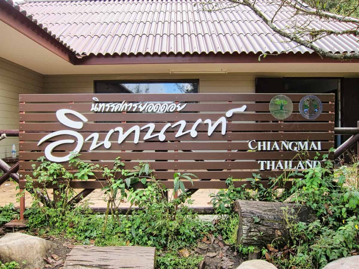
Doi Inthanon National Park
Doi Inthanon National Park is one of Thailand’s most beautiful and interesting places to visit. Located in northern Thailand near the border with Burma, it is home to lush green forests, spectacular waterfalls, majestic mountains, and a variety of wildlife. The park was established in 1972 and today covers an area of 482 square kilometers. Visitors can explore the various trails that lead through the park, marvel at its breathtaking views, or observe its many unusual plants and animals.

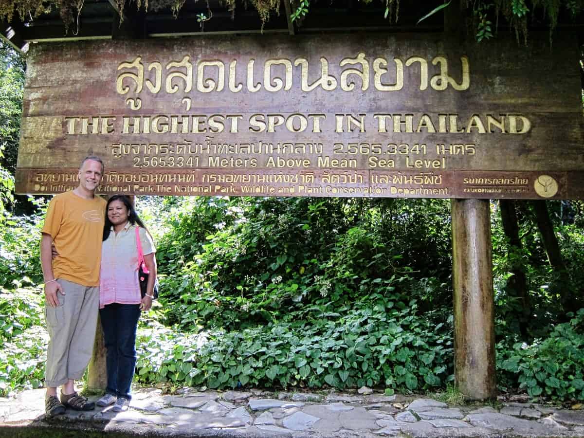
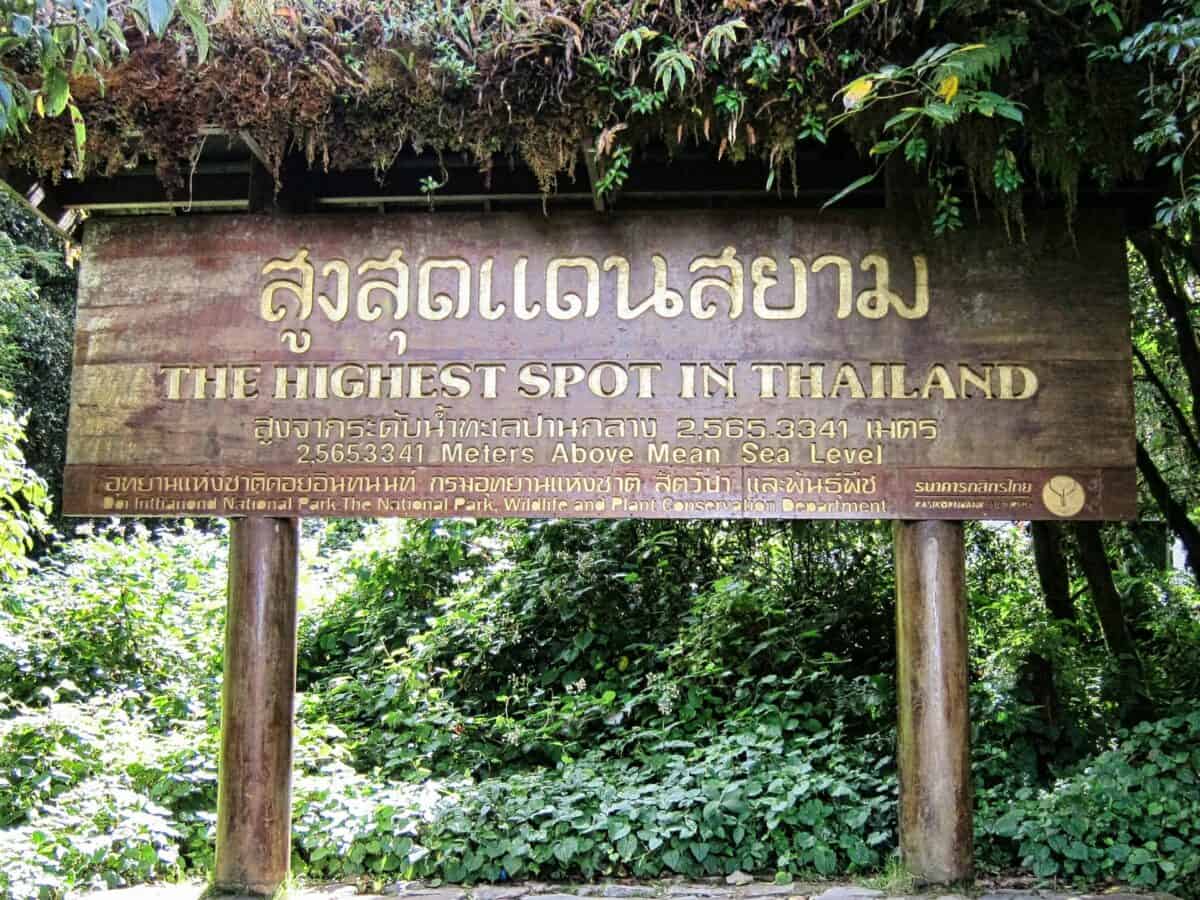
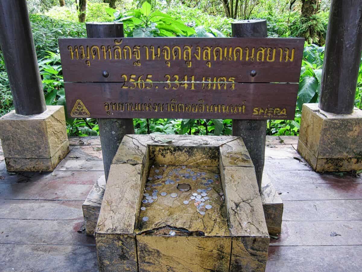
Highest Spot in Thailand
The centerpiece of Doi Inthanon National Park is its highest peak – Doi Inthanon mountain which stands 2,565 meters high. From here visitors can take in panoramic views across the surrounding countryside or hike up higher for even more impressive sights.
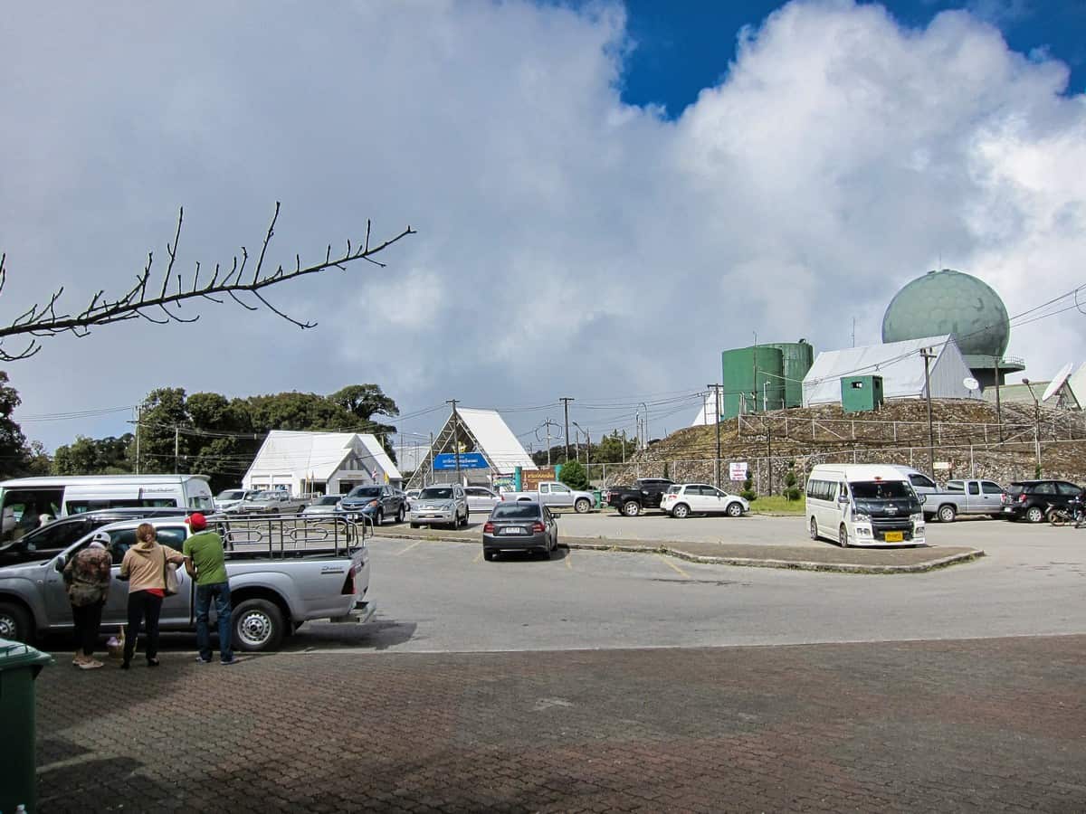

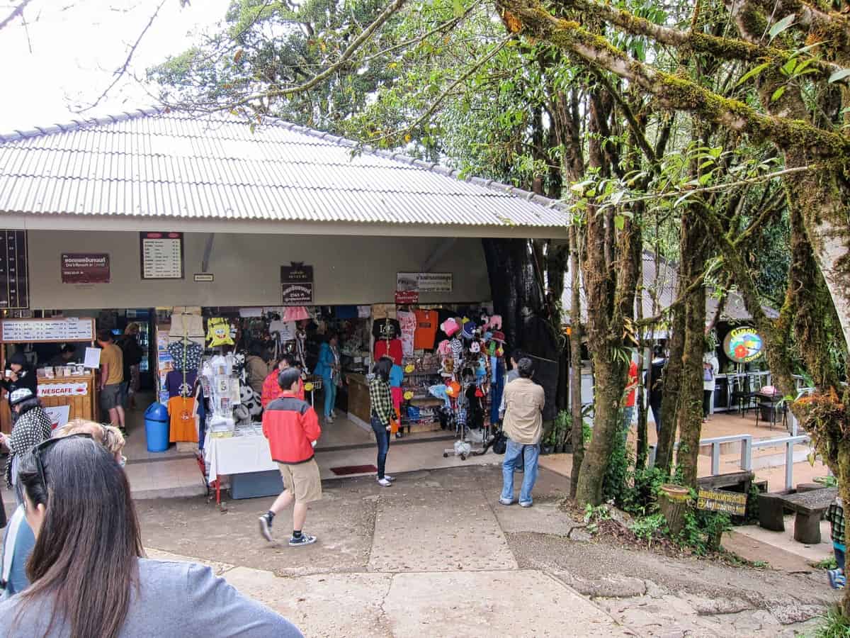
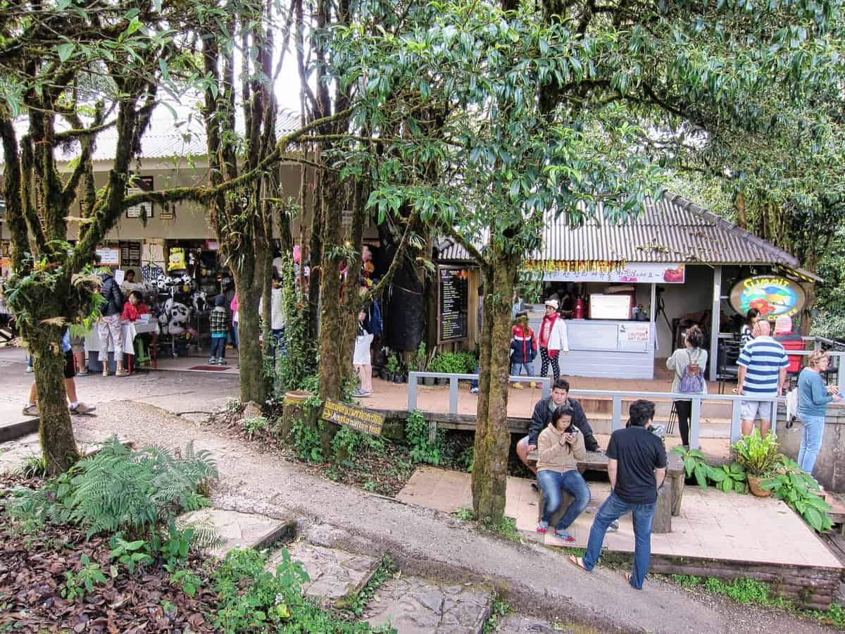
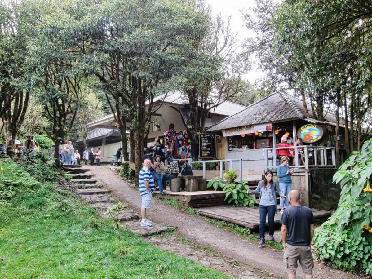
Doi Inthanon Park Center
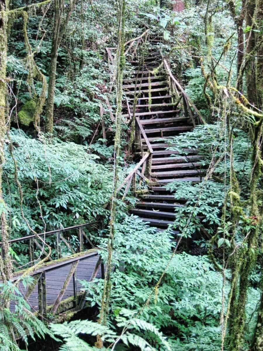
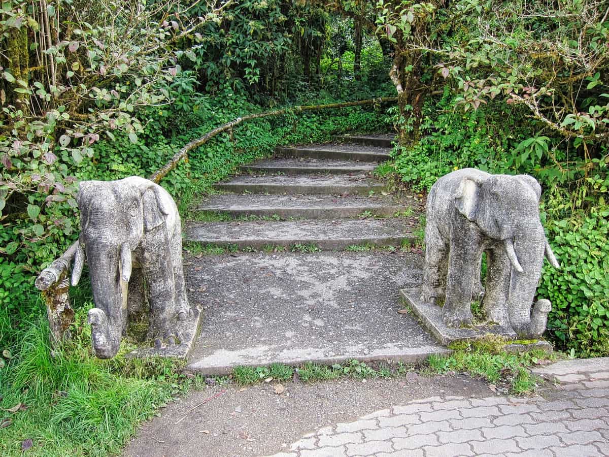
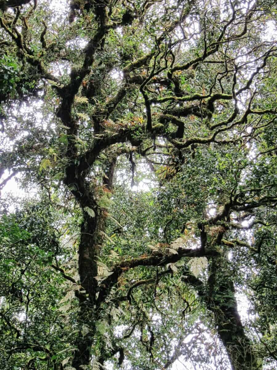
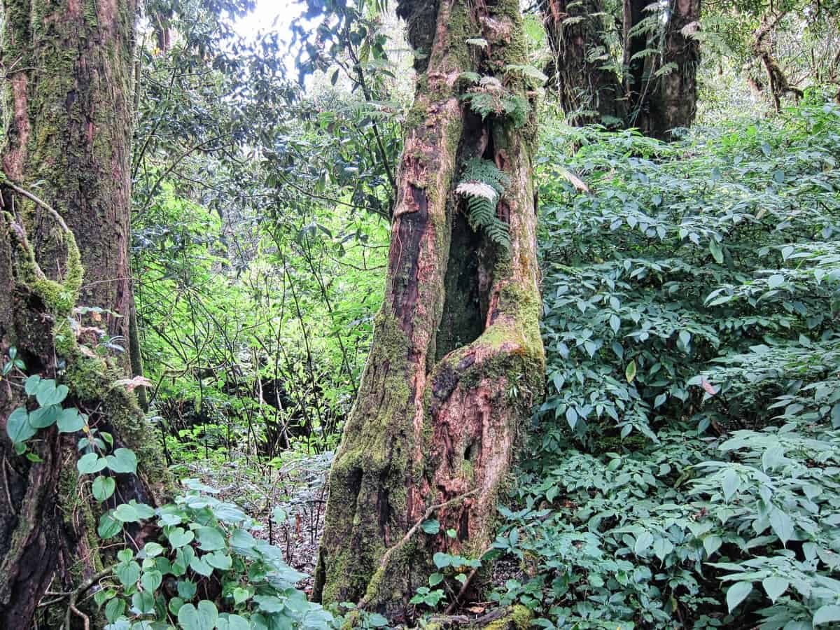
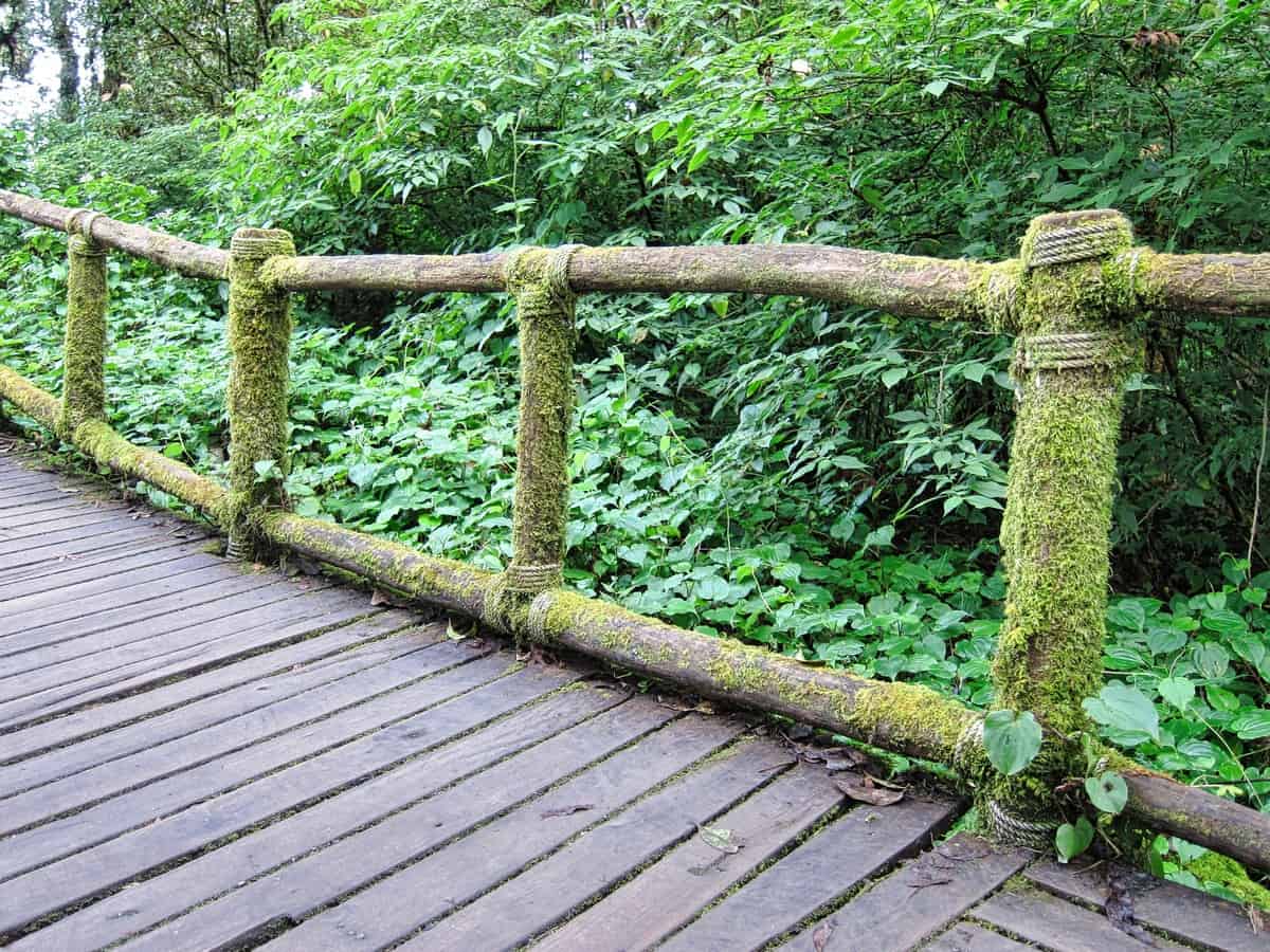
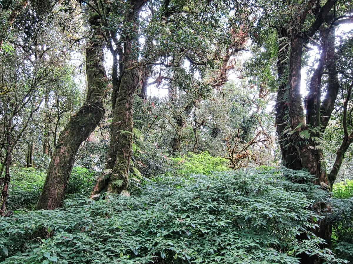
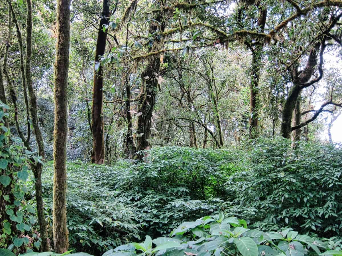
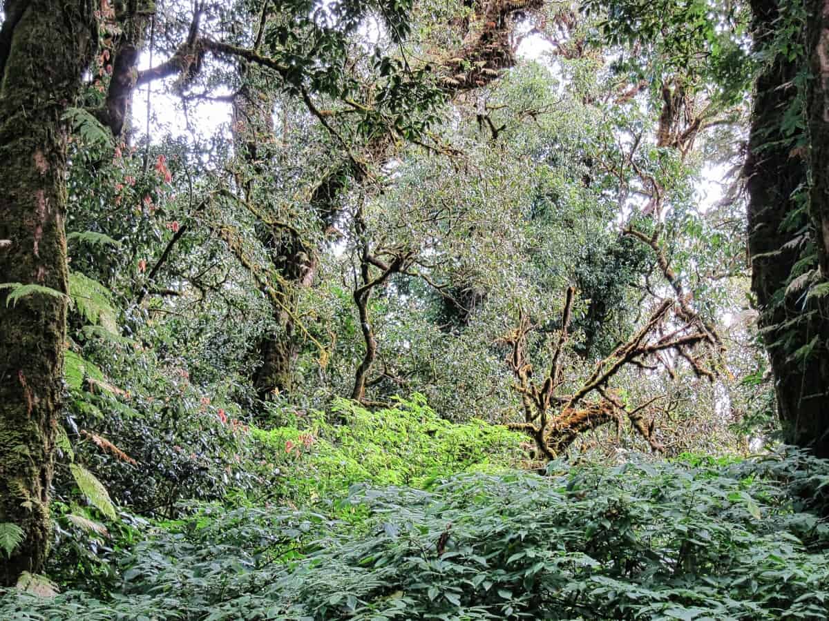
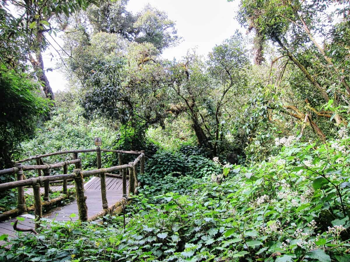
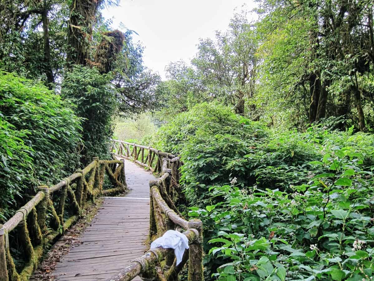
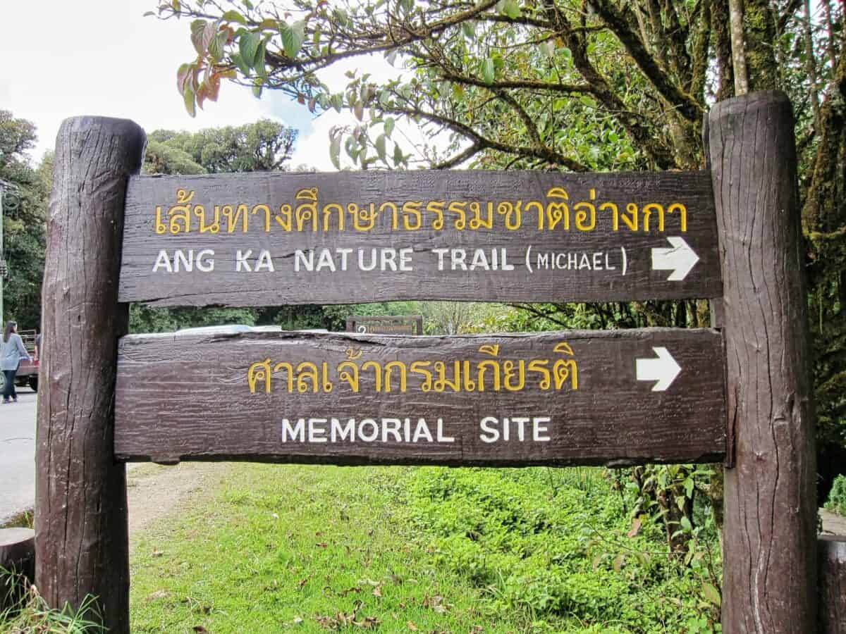
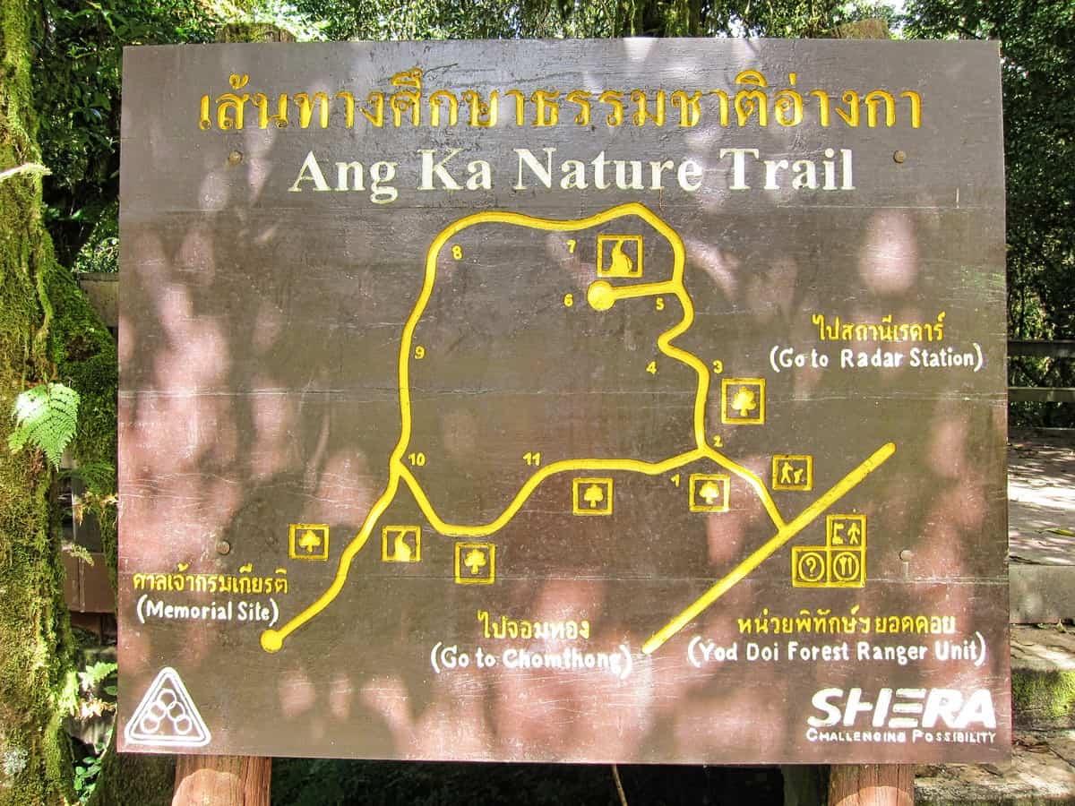
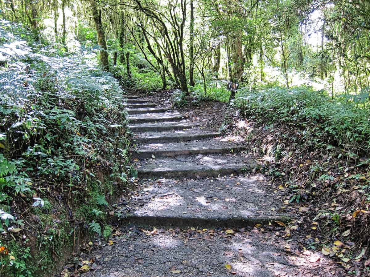
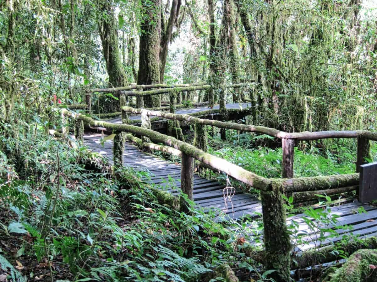
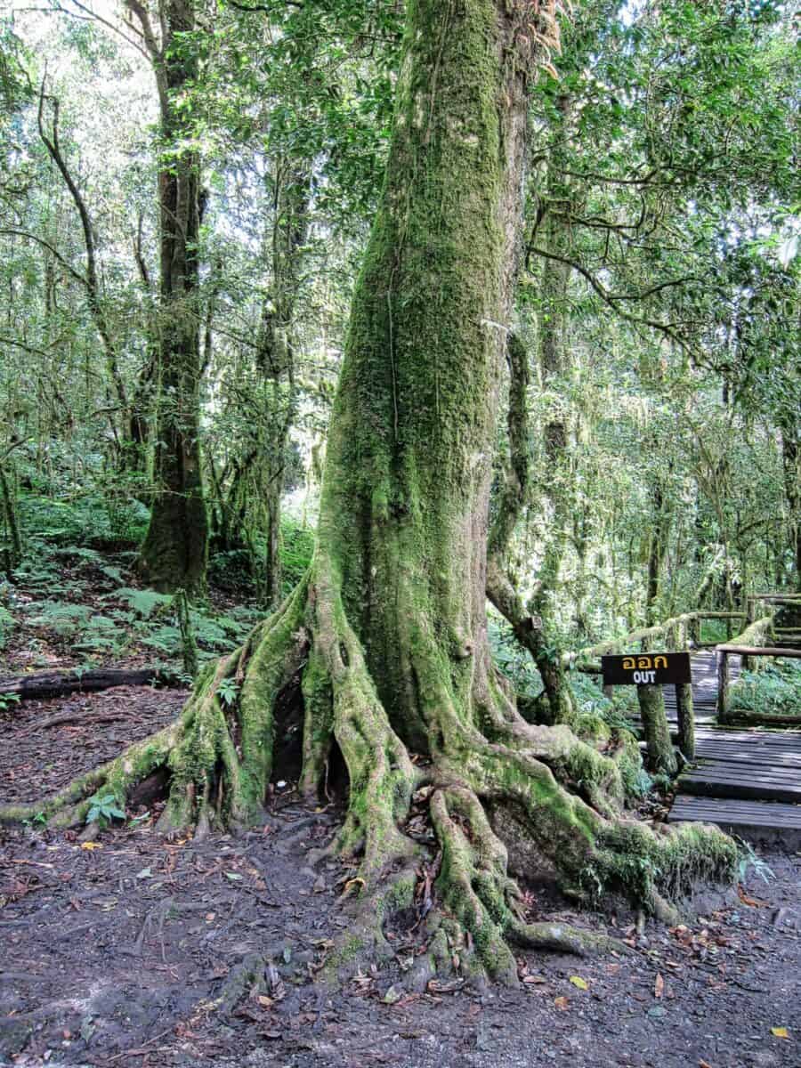
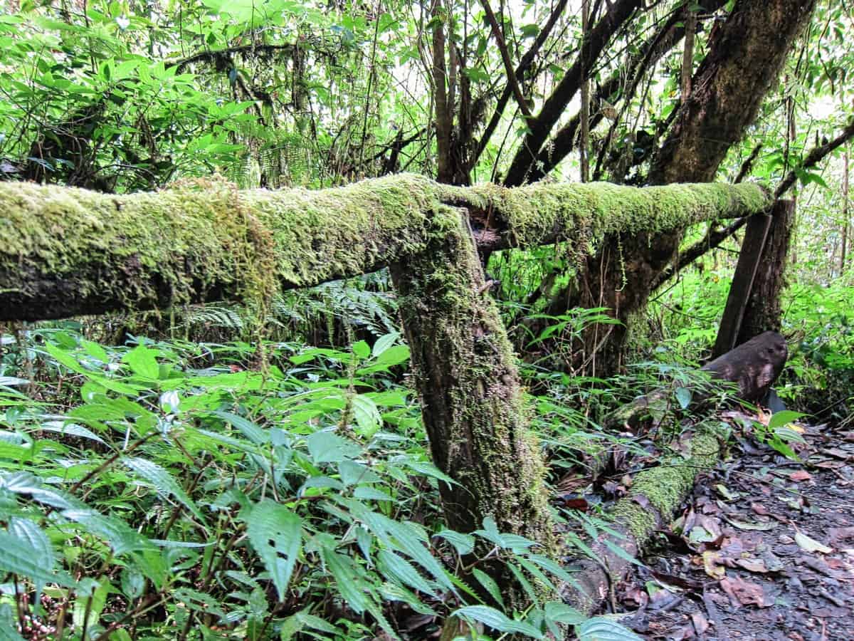
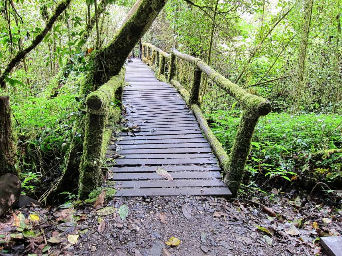
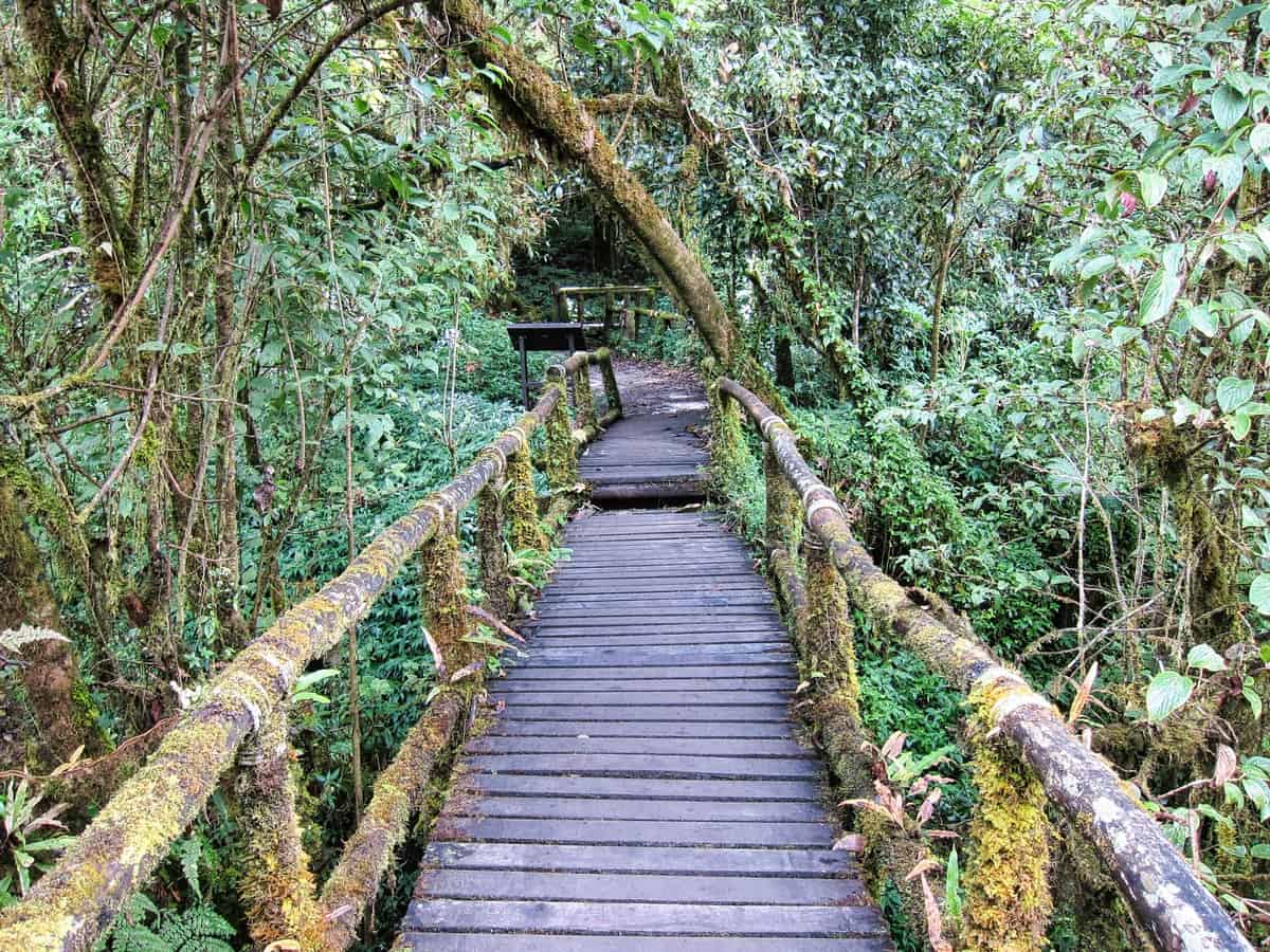
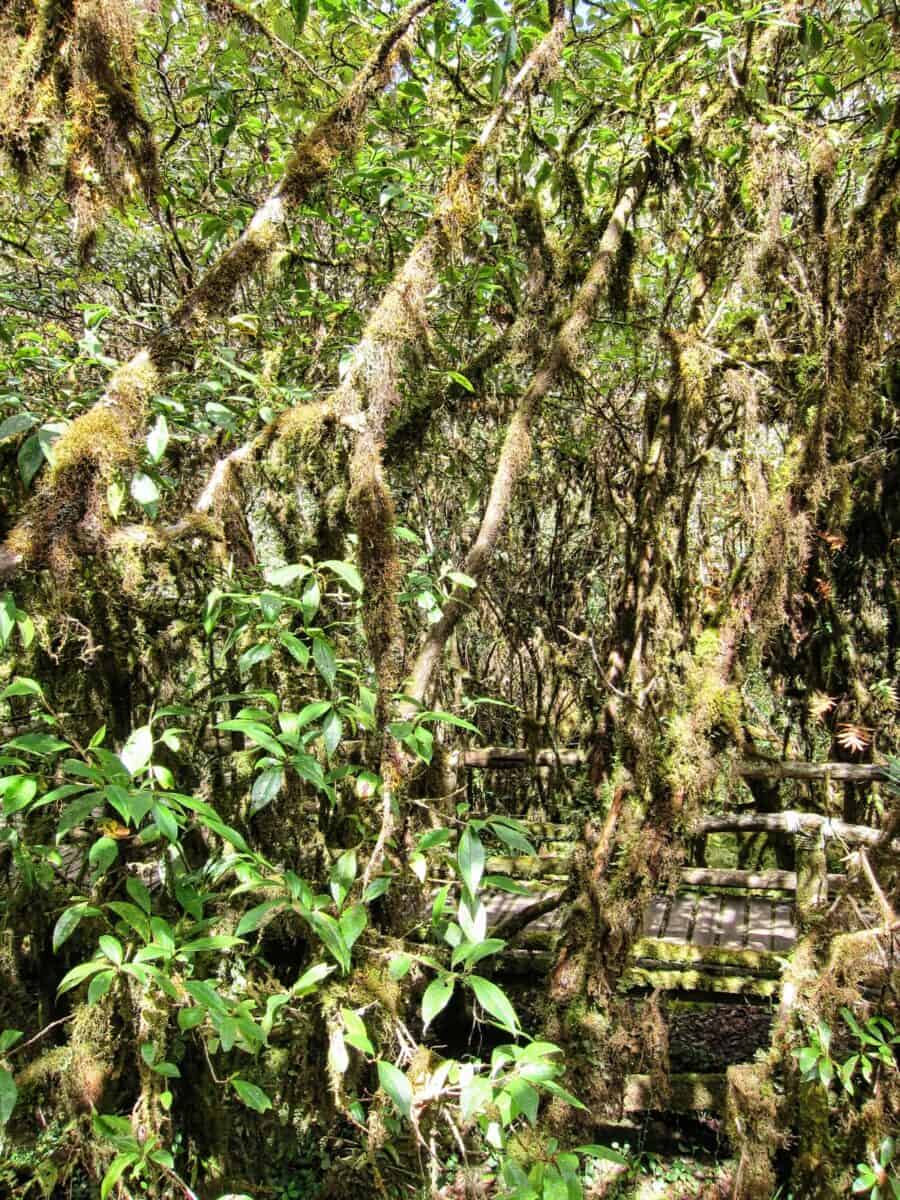
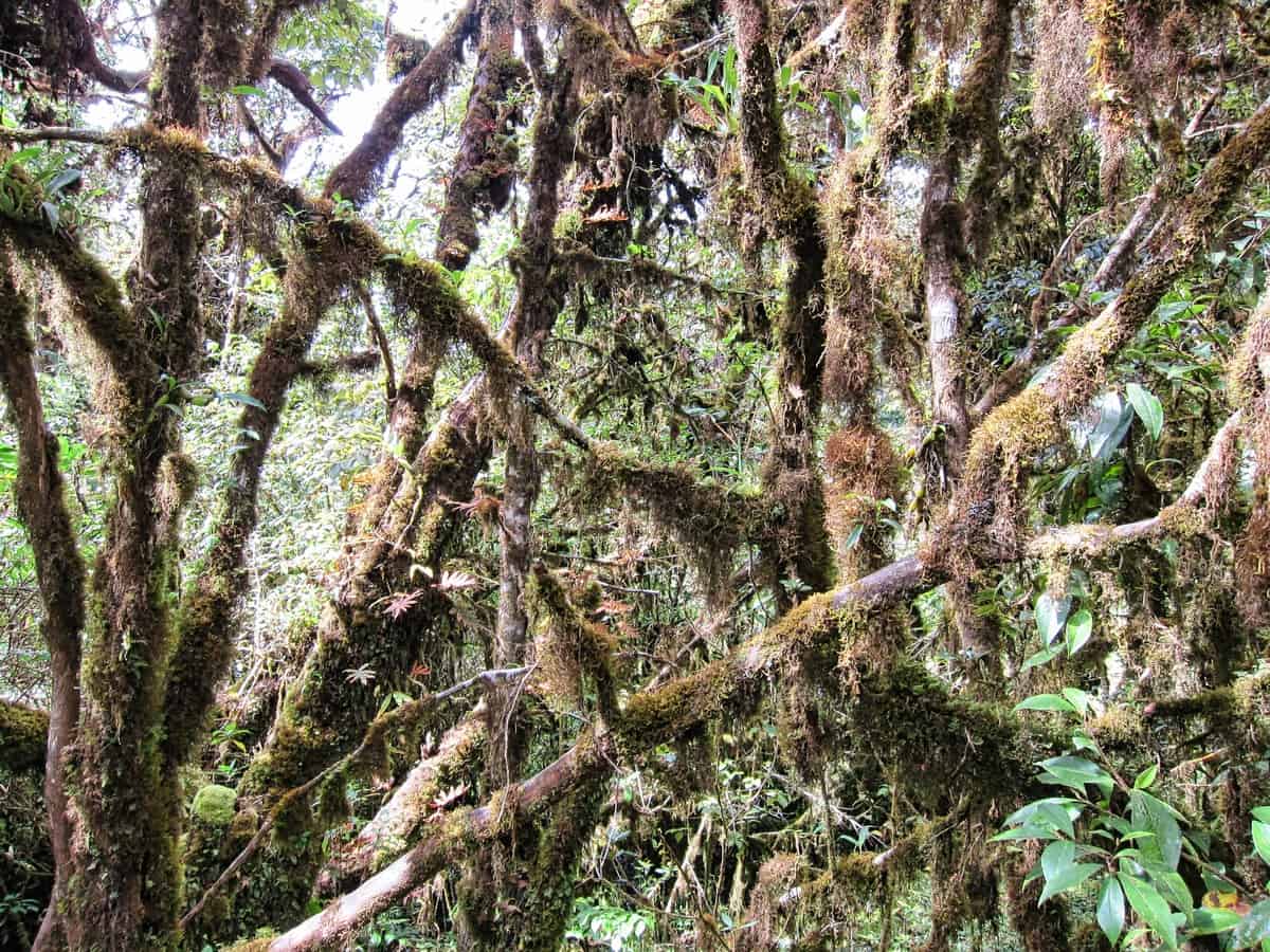
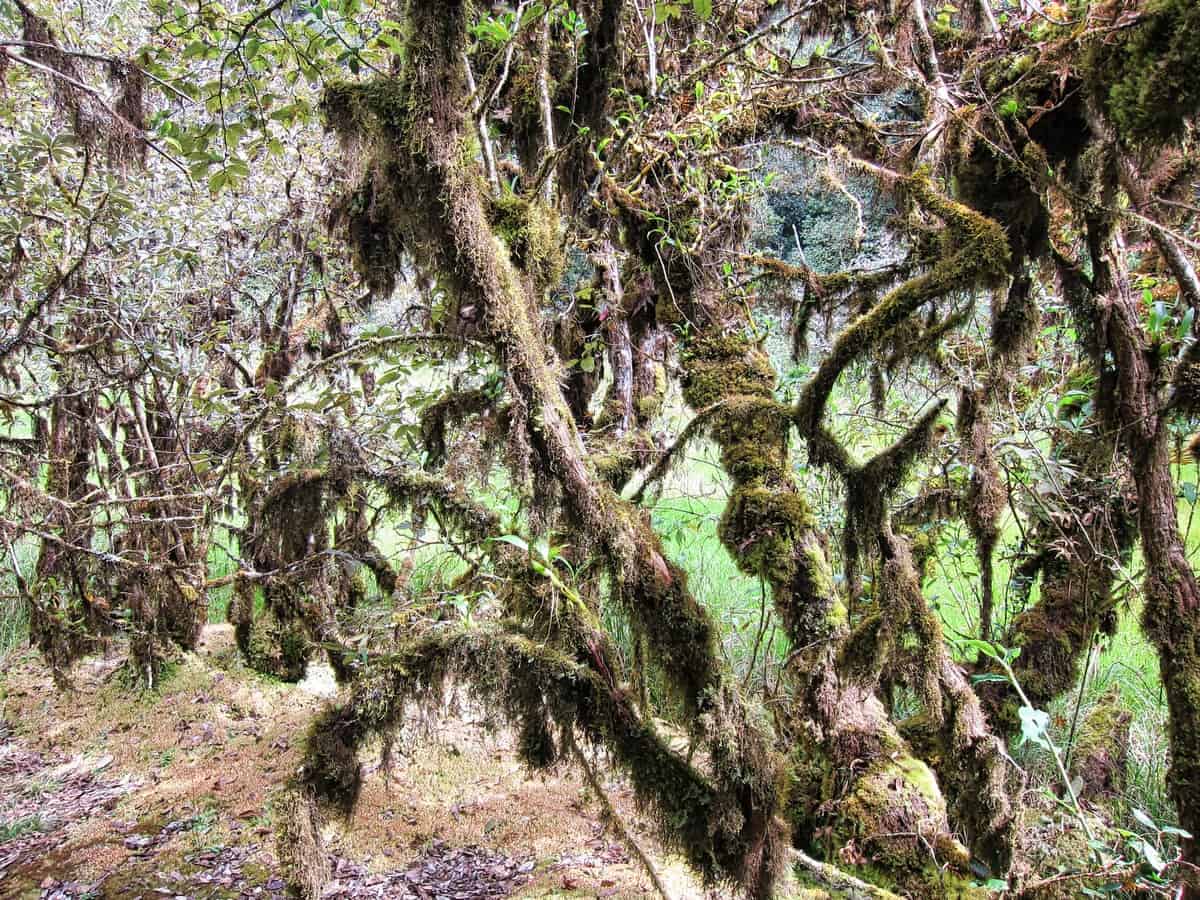
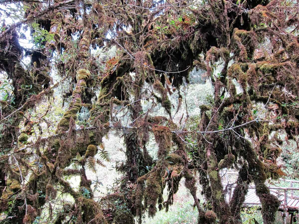
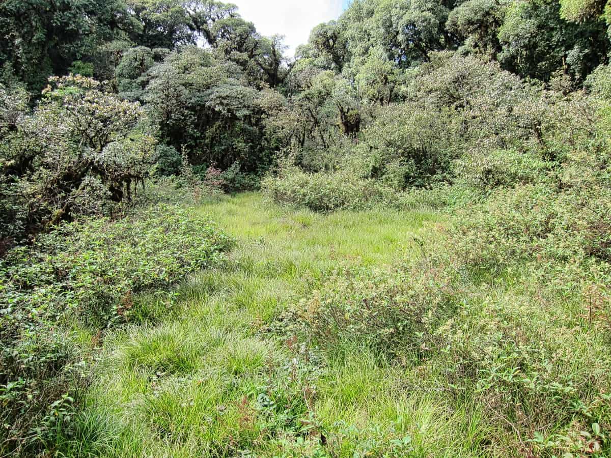
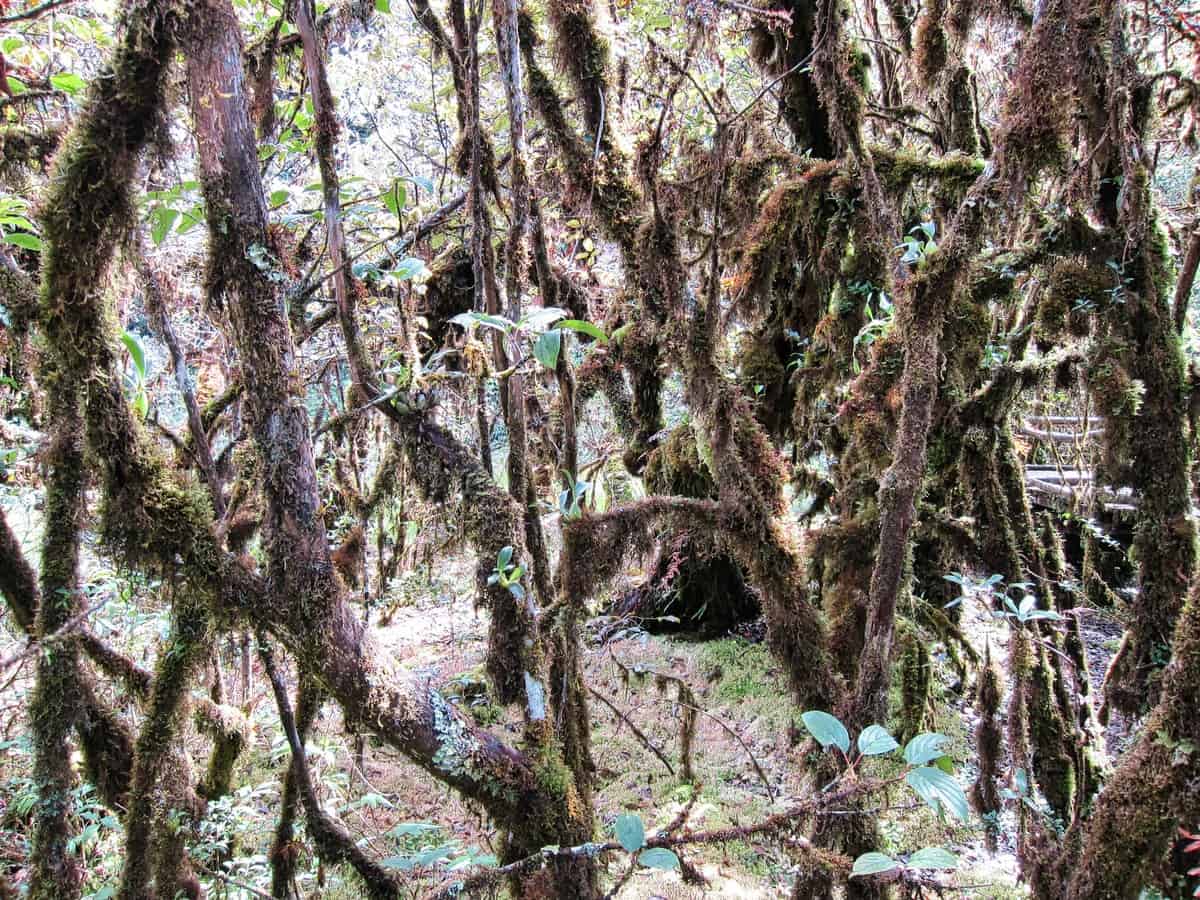
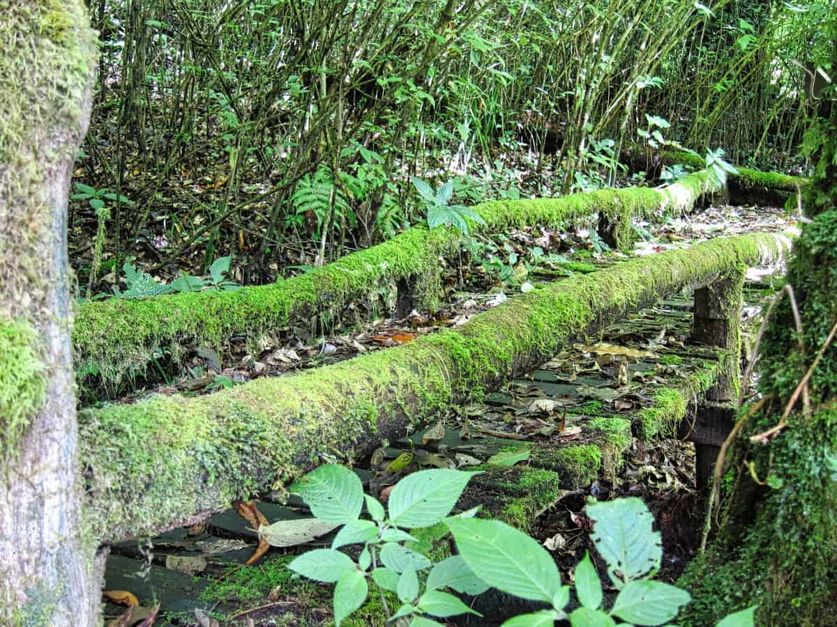
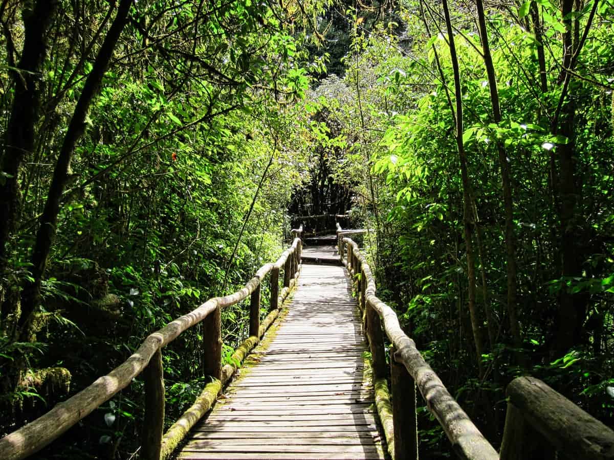
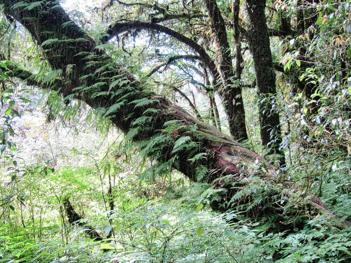
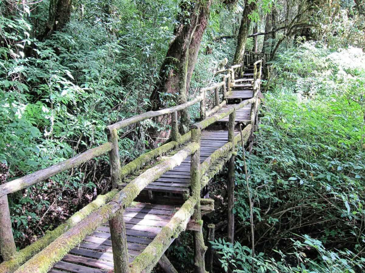
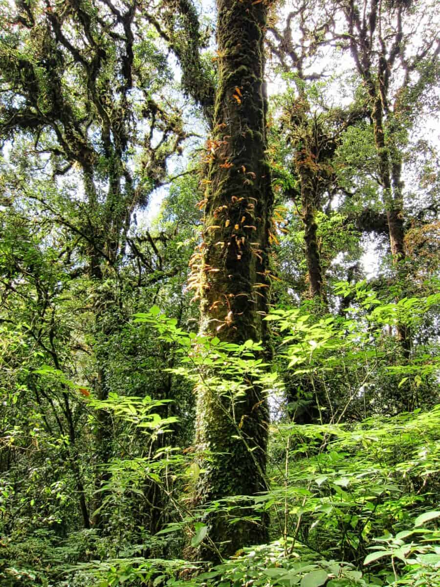
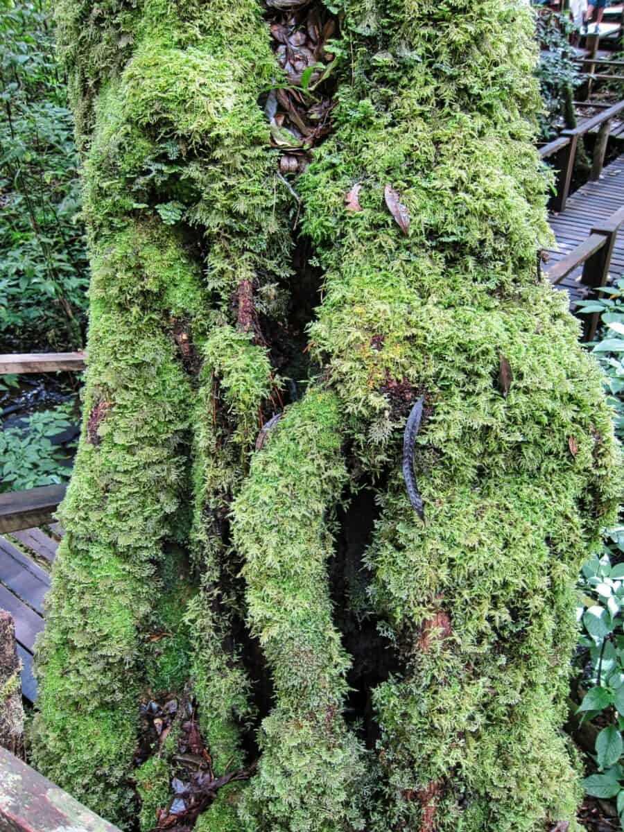
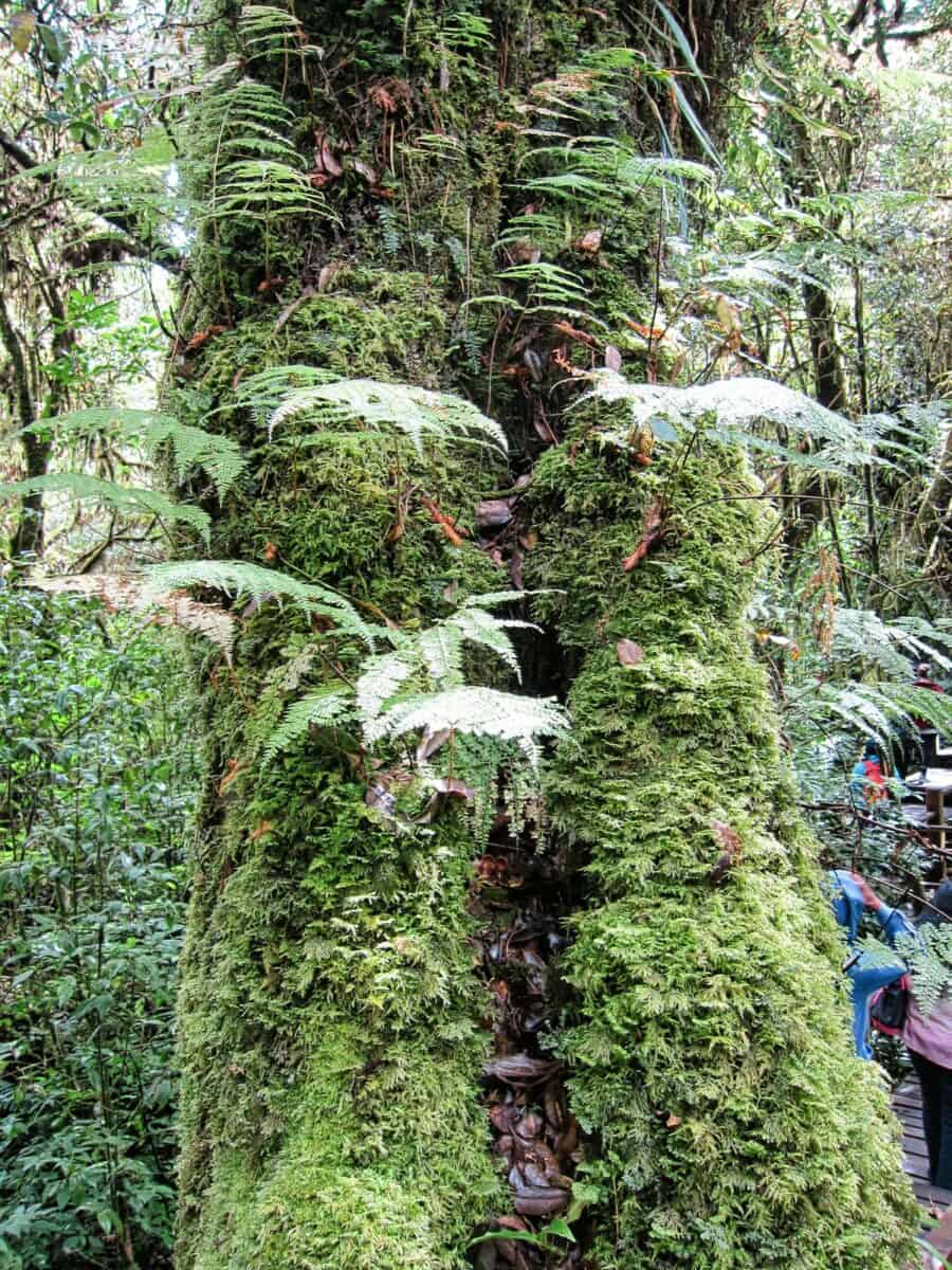
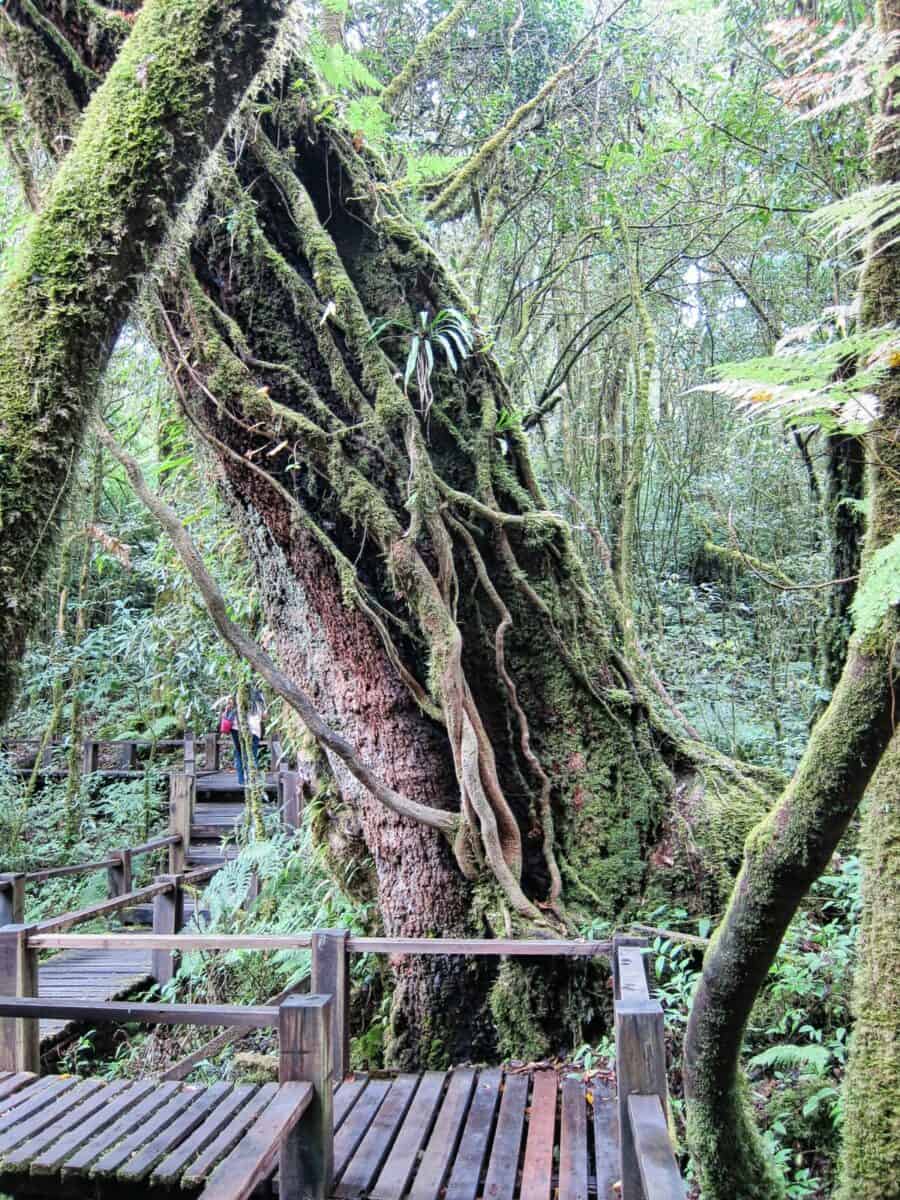
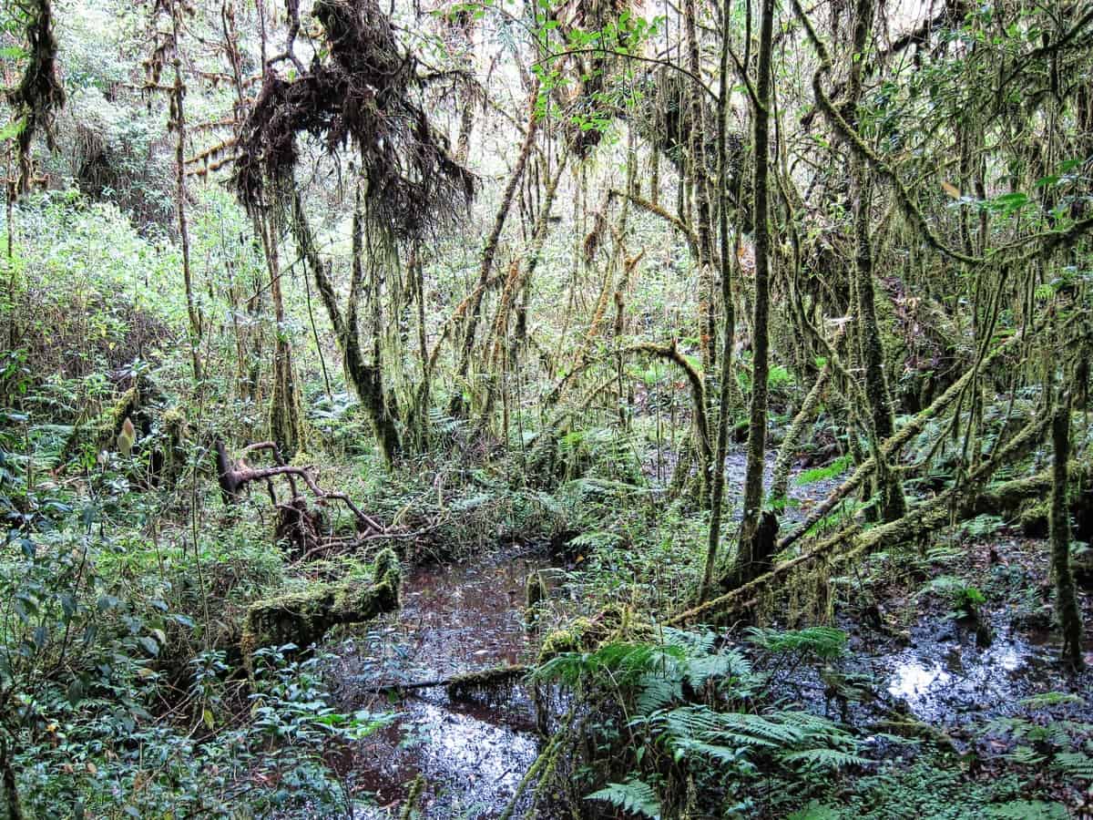
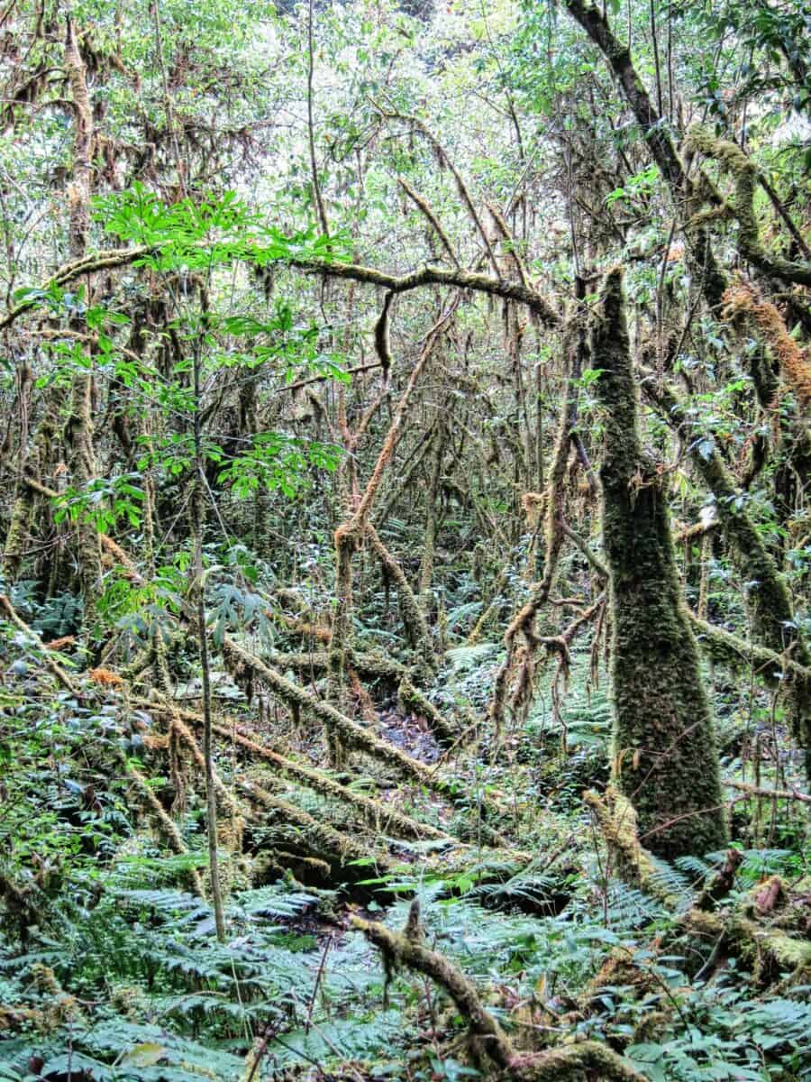
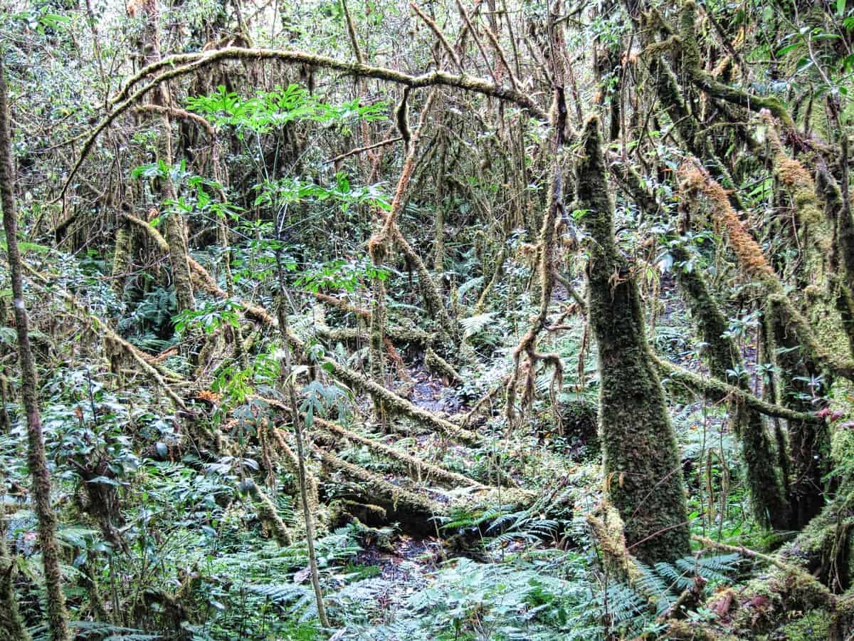
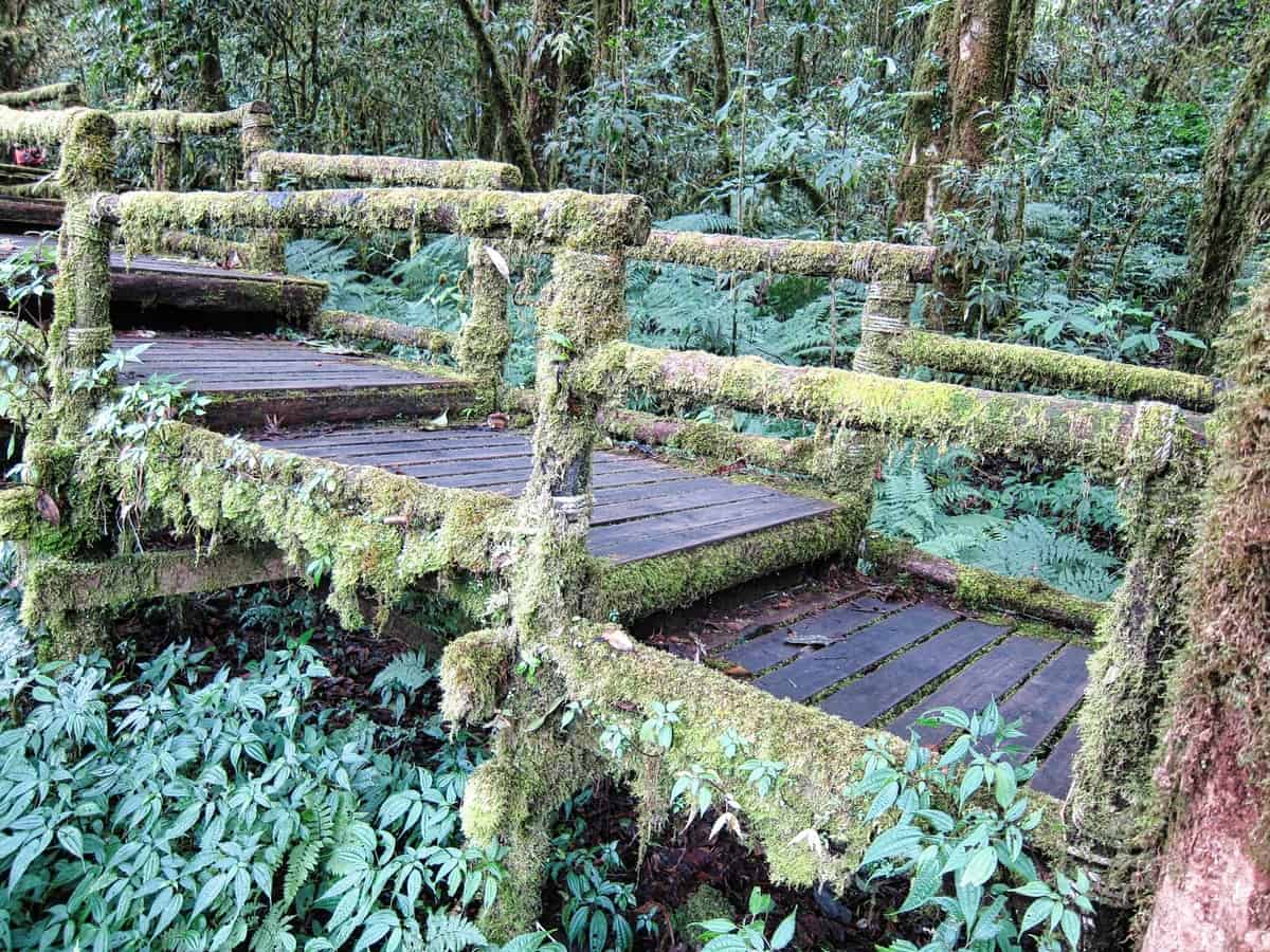
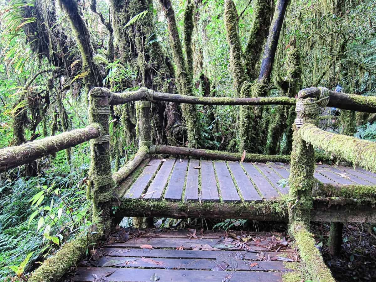
Ang Ka Nature Trail
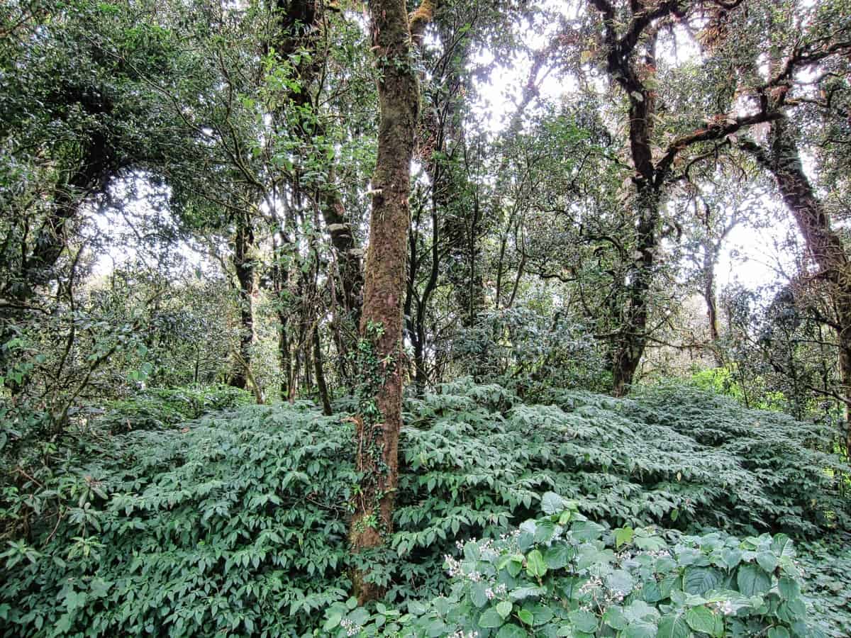
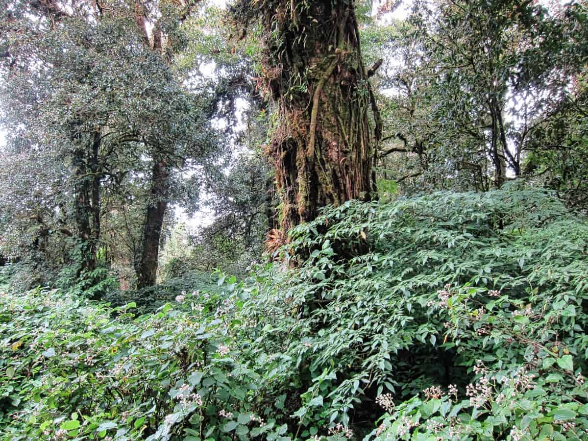
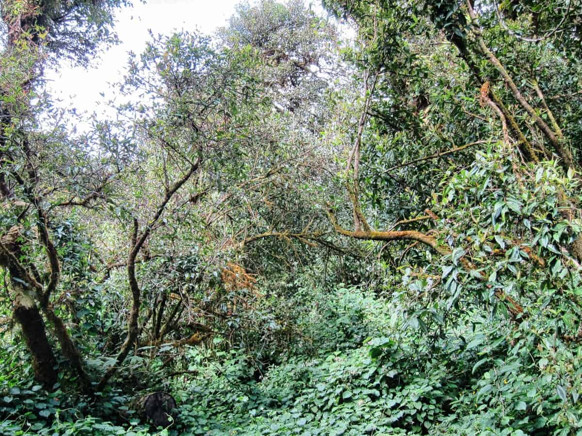
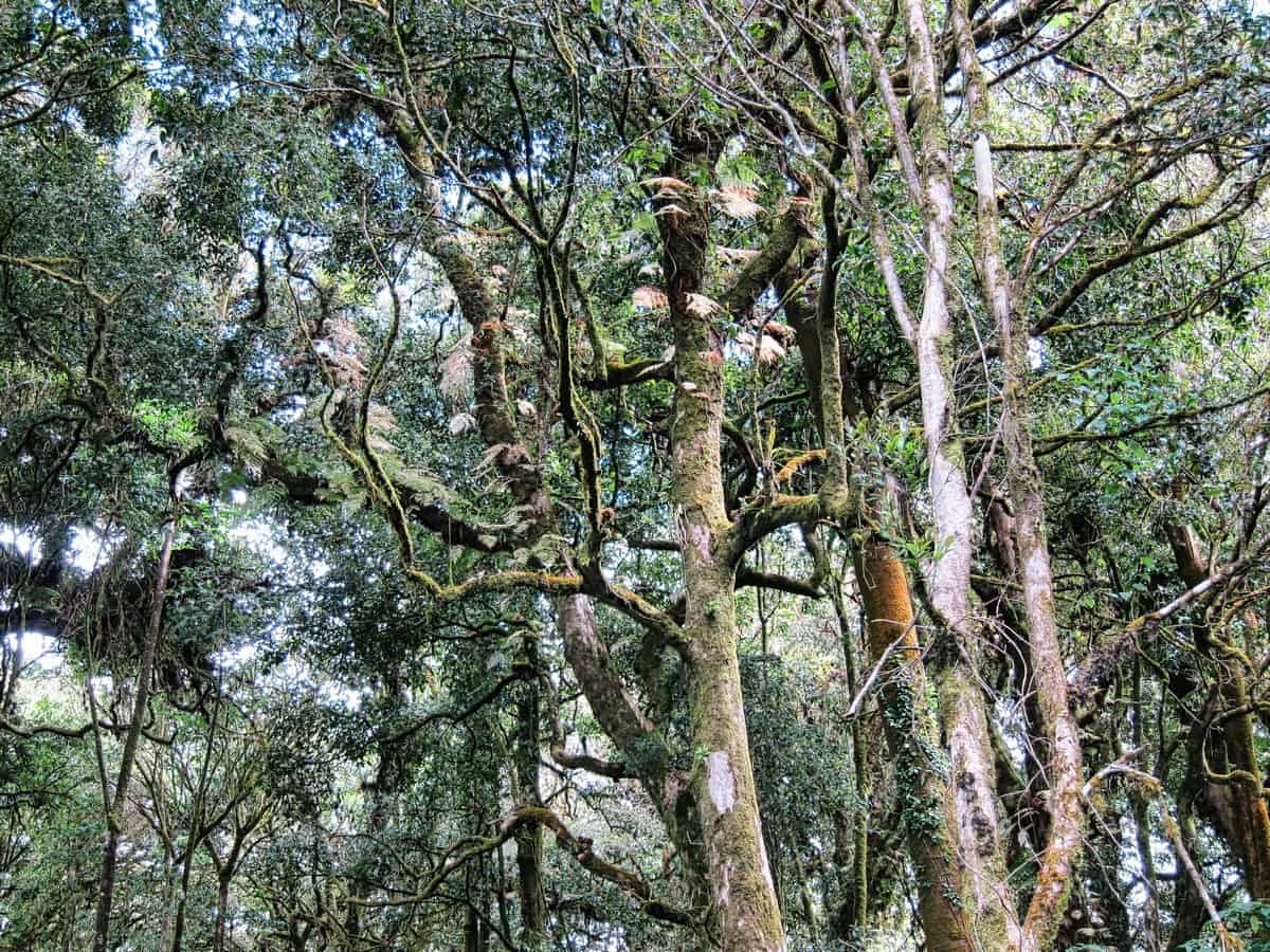
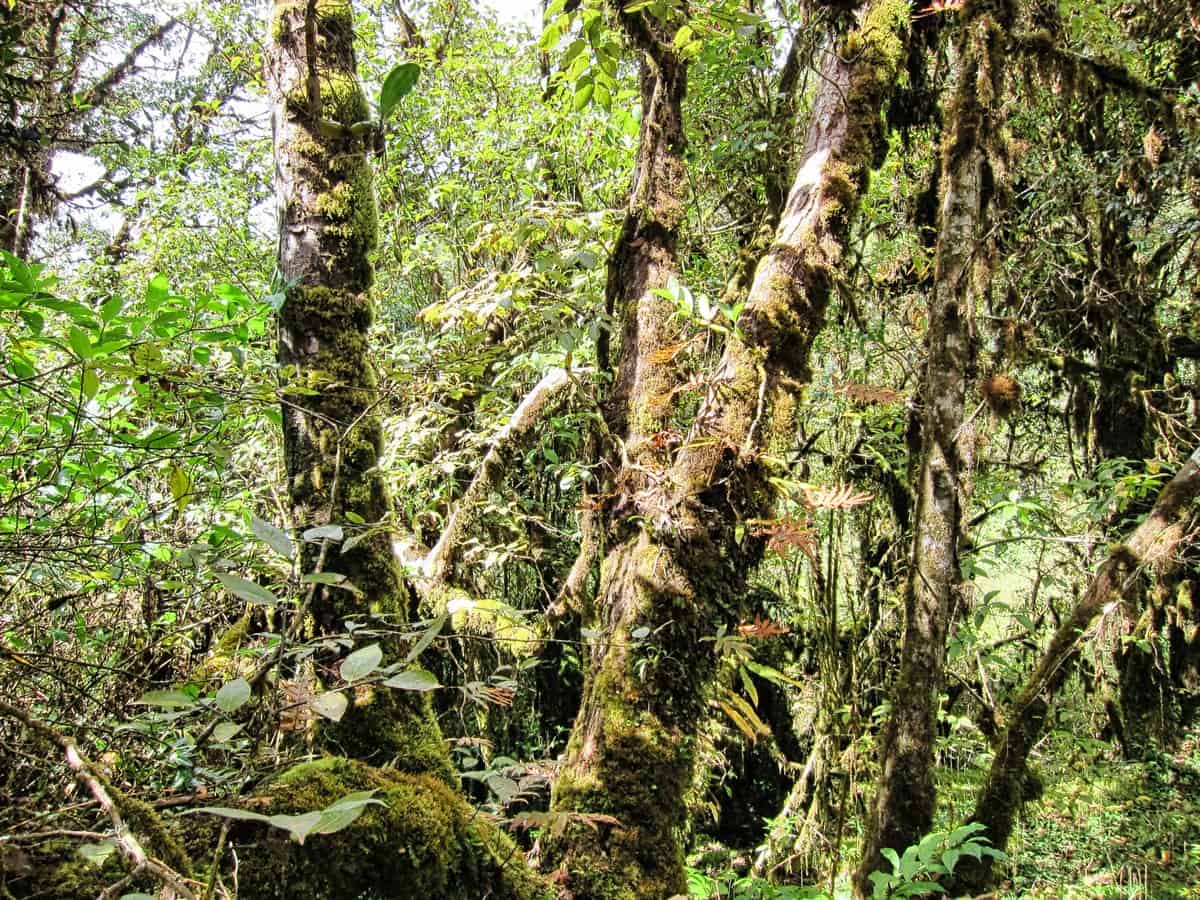
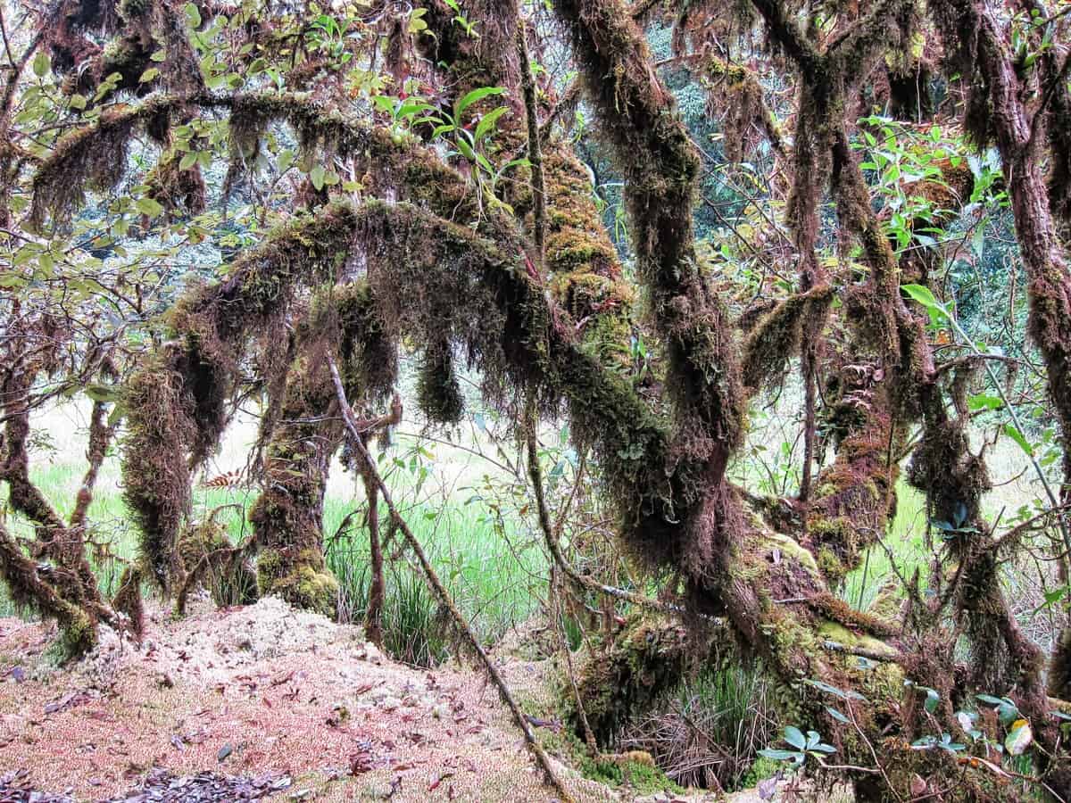
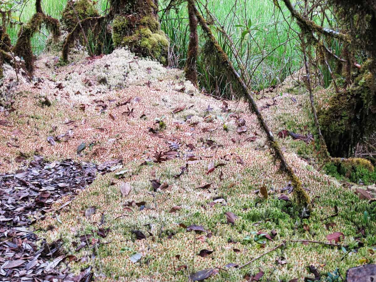
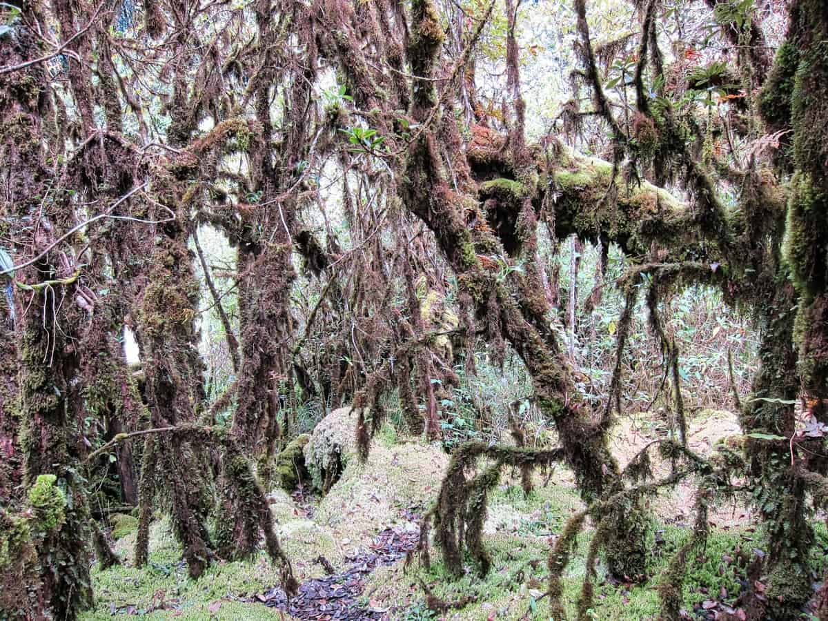
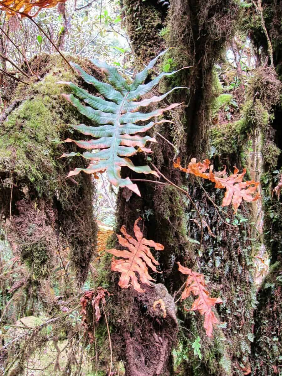
Ang Ka Nature Trail is a 1.4 kilometer walking trail that winds through the stunning landscape of northern Thailand. Boasting vibrant greenery and diverse wildlife, this trail is sure to delight nature enthusiasts.

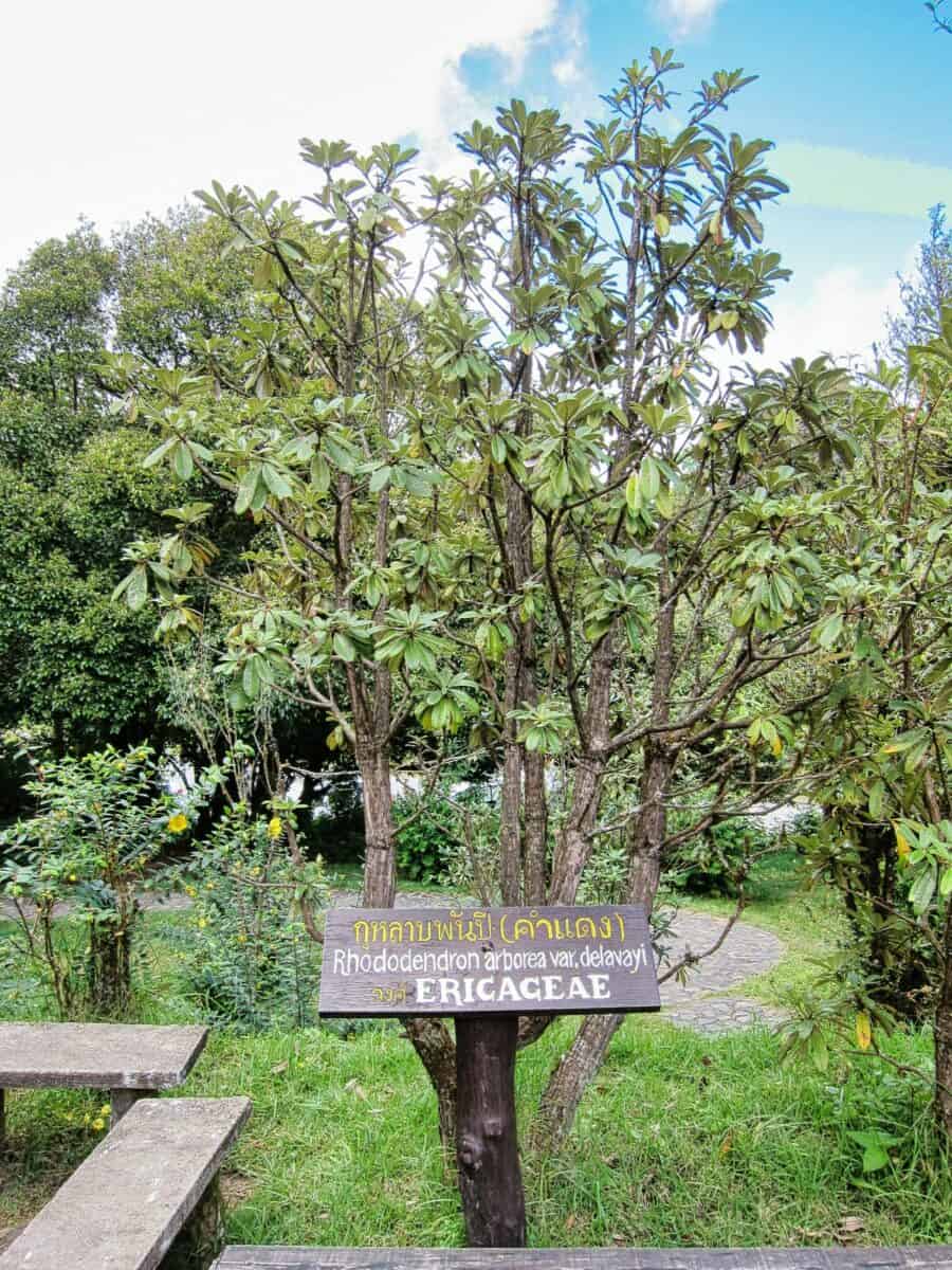
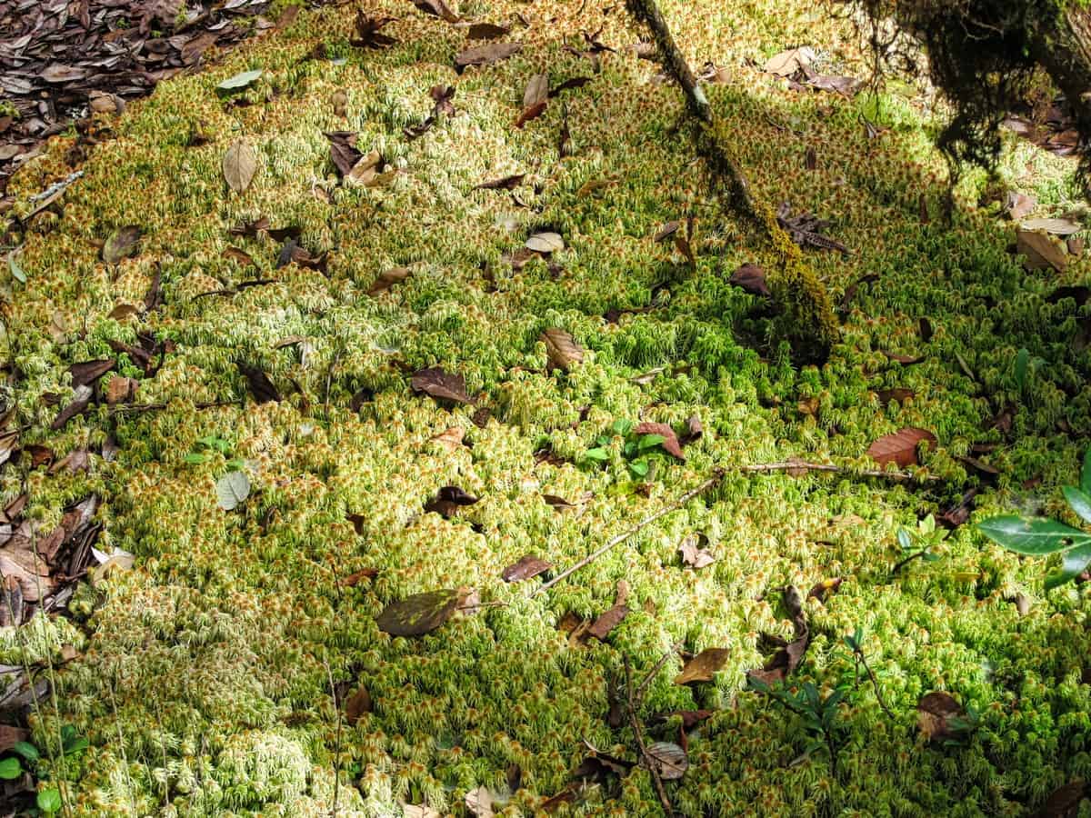
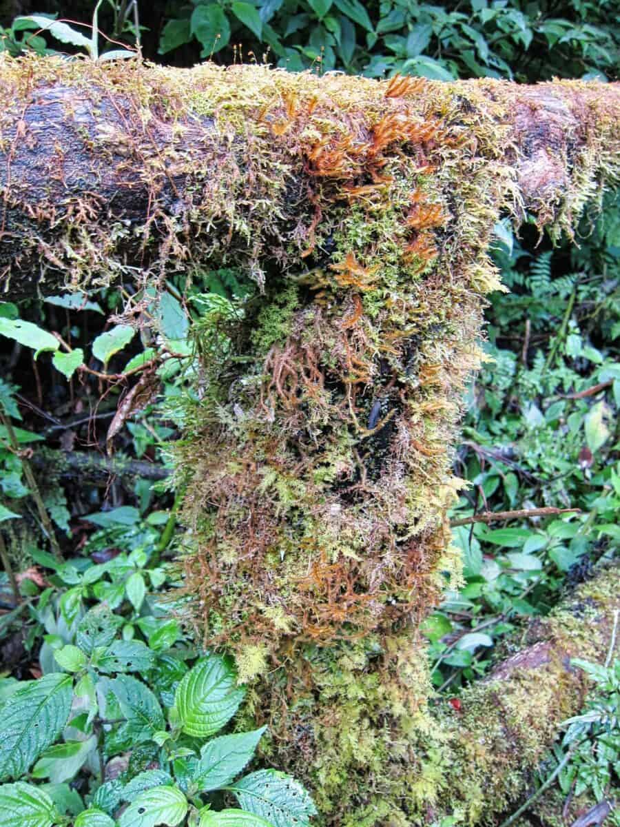
The trail features a variety of flora and fauna, including rare species native to the region. Along the path visitors can spot vibrant Rhododendrons in full bloom and colorful wild birds fluttering in trees overhead. The wetland areas are filled with lush Sphagnum moss, providing vital habitat for many local species.
This scenic nature walk also offers breathtaking views of mountainous terrain, surrounding valleys and distant villages; making it an ideal destination for anyone seeking respite from urban life or simply looking to explore the great outdoors. For those interested in exploring Ang Ka Nature Trail there are guided tours available at different times throughout the year.
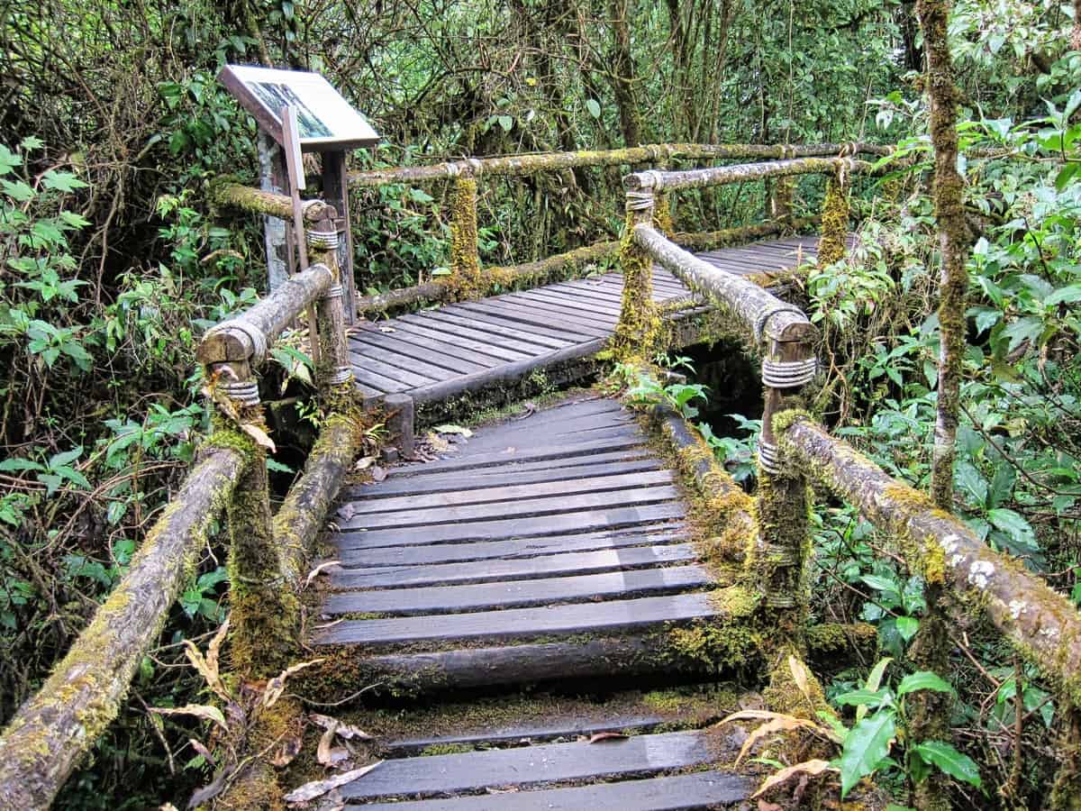

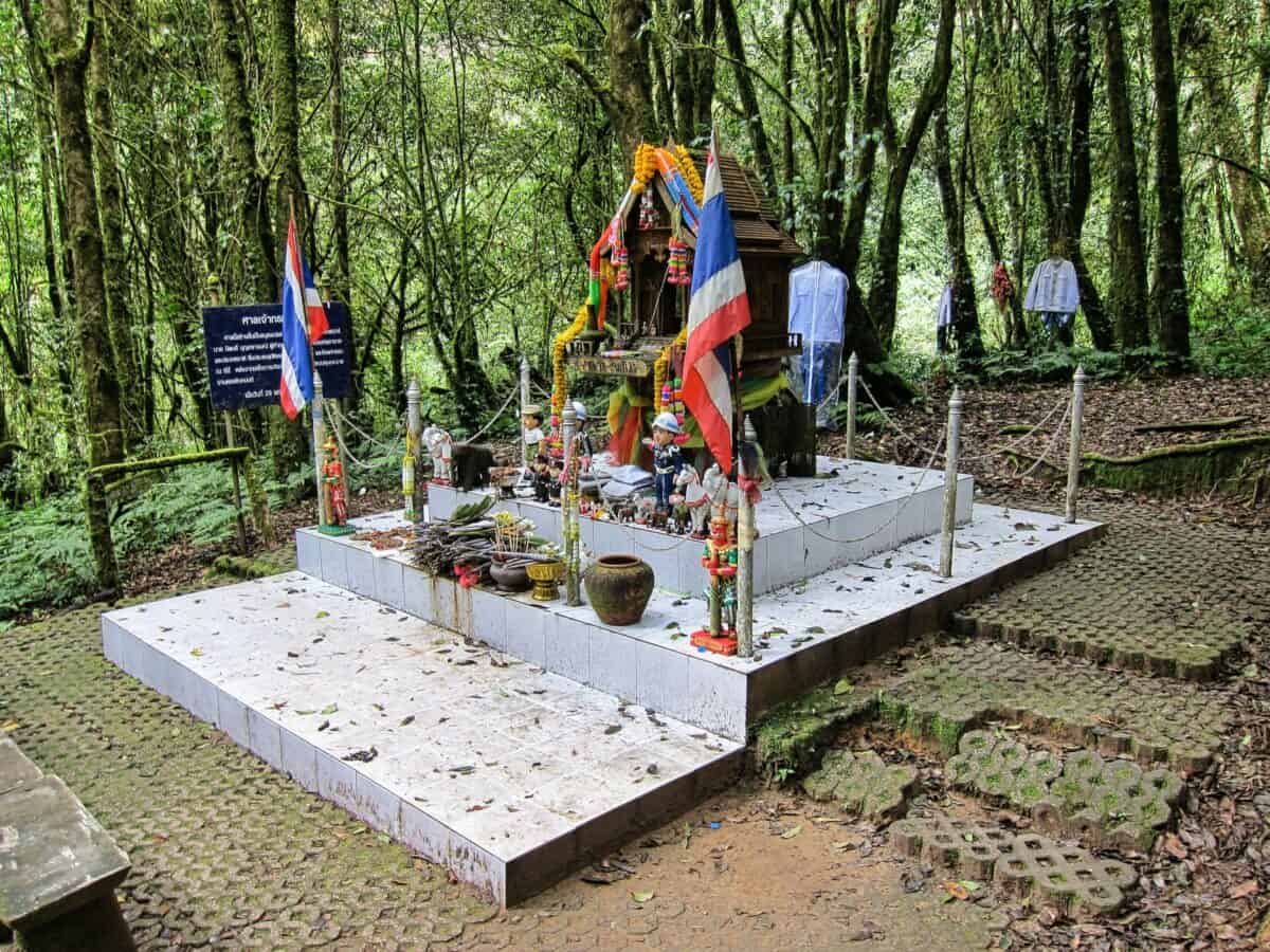
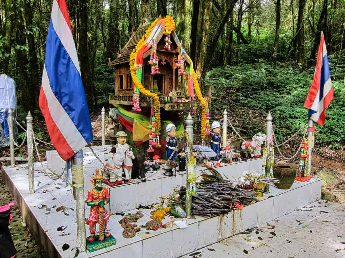
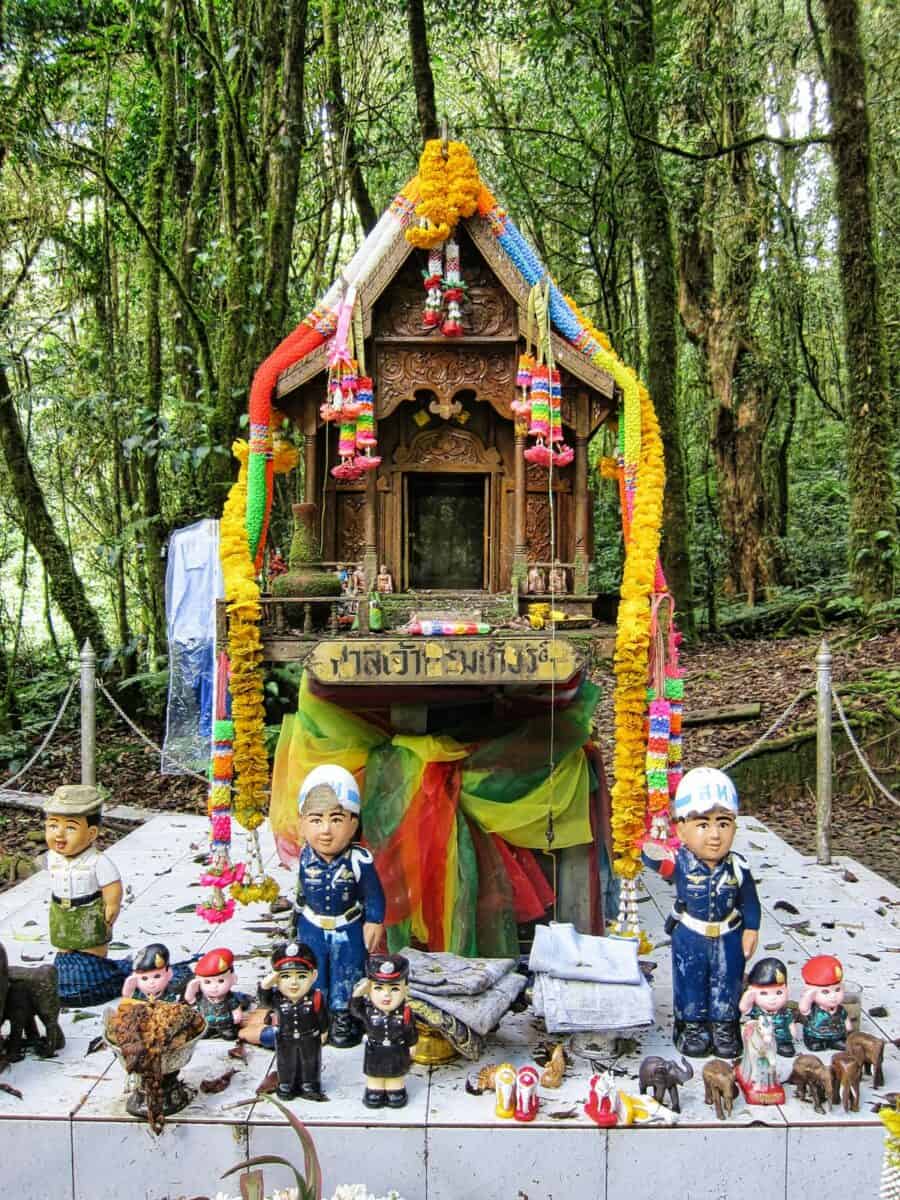
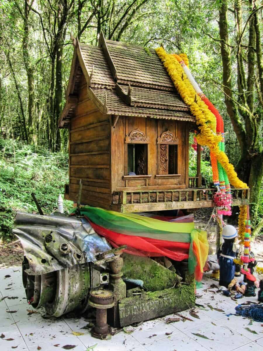
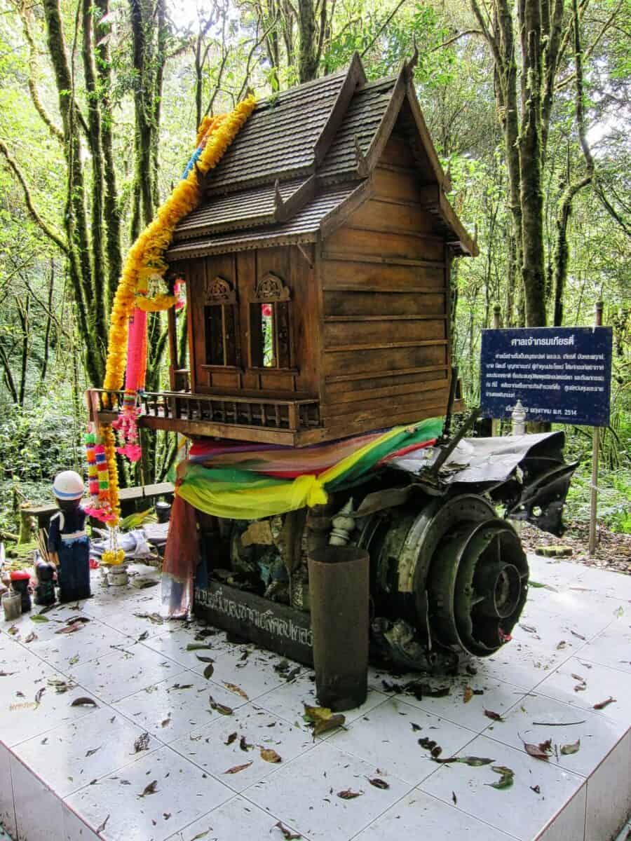
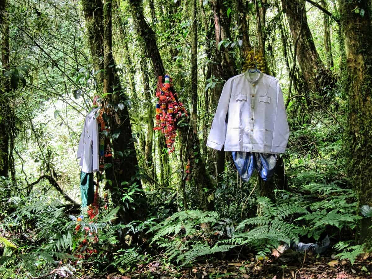
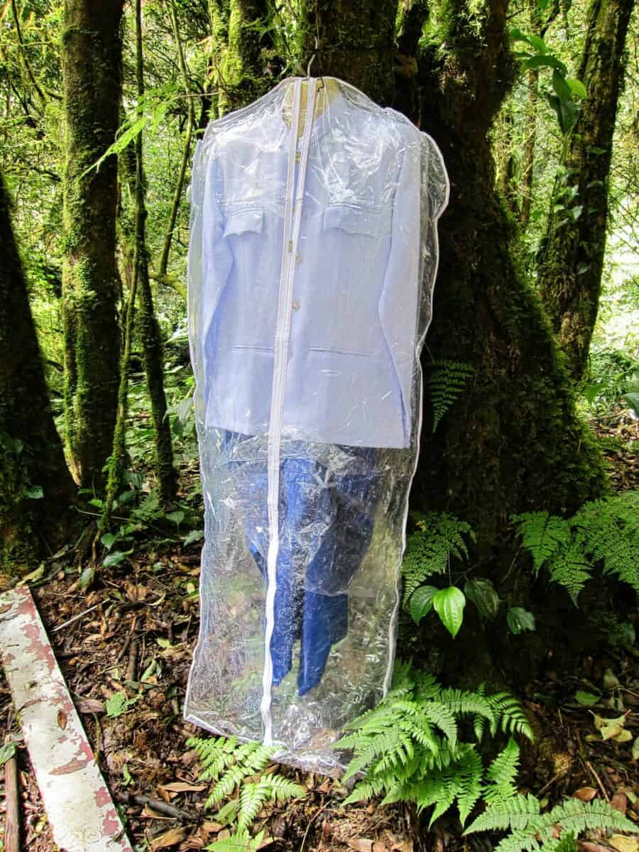
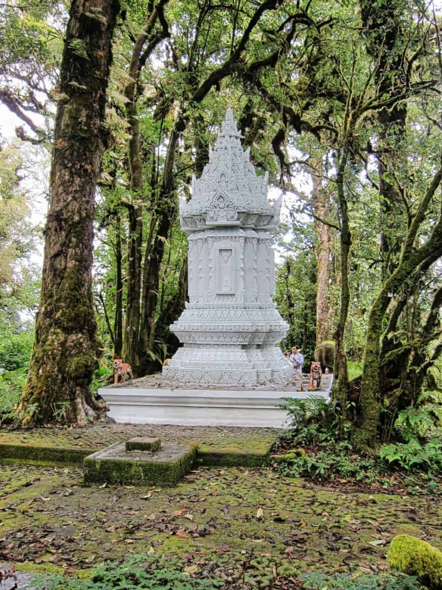
Doi Inthanon Helicopter Crash Site
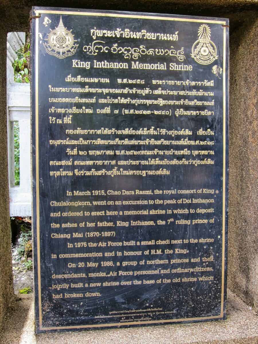
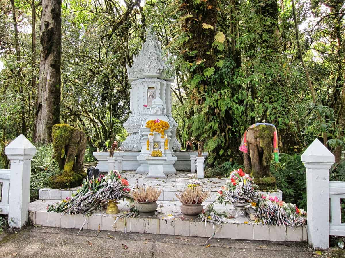
While walking along Ang Ka Nature Trail, we came across a memorial shrine dedicated to the lives lost in a helicopter crash in the 1970s. From what I have found online, it is referred to as the Shrine of Chao Krom Kiat. Air Chief Marshal Kiat Mangkhlapruek and Doi Inthanon’s first park director (could not find his name), died at this spot in 1971.